West Coast climate summary – extended dry spell worrying coasters
5/09/2014 10:00pm

> From the WeatherWatch archives
Alarming data from what is traditionally the country’s wettest region is proving a concern to locals, with rainfall nearly 50% down on normal August levels.
Just 132mm fell on the Coast last month, which is more than 101mm down on the long-term average (233mm), with 99% of that total falling within the first half of the month.
Since the first week of the month, the region has been almost completely dry, with the last 18 days registering next to nothing.
This is especially concerning, seeing as it appears unlikely that there will be significant rain over the next five days – and at least 10mm is needed to break the spell.
In other statistics, temperatures for August were close to average, however, the 13th saw a maximum daytime temperature of just 6.3(!) – just fractionally above the coldest August day on record (6.0 in 2008).
The sunshine clocked in at 181 hours for August, which is 31 hours above the long-term mean of 150.
It was the sunniest August on the Coast for 40 years (1974 was 190 hours), while Hokitika’s sunniest ever August was an extraordinary 212 hours in 1961.
Thanks to Mark Crompton, from West Weather for the data
Comments
Before you add a new comment, take note this story was published on 5 Sep 2014.
Latest Video
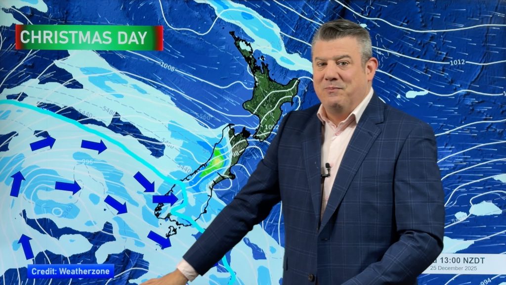
Latest Christmas forecast + New Year’s Eve outlook
We have an extended forecast covering the rest of 2025 as a cold change looks set to kick in from…
Related Articles
Latest Christmas forecast + New Year’s Eve outlook
We have an extended forecast covering the rest of 2025 as a cold change looks set to kick in from…
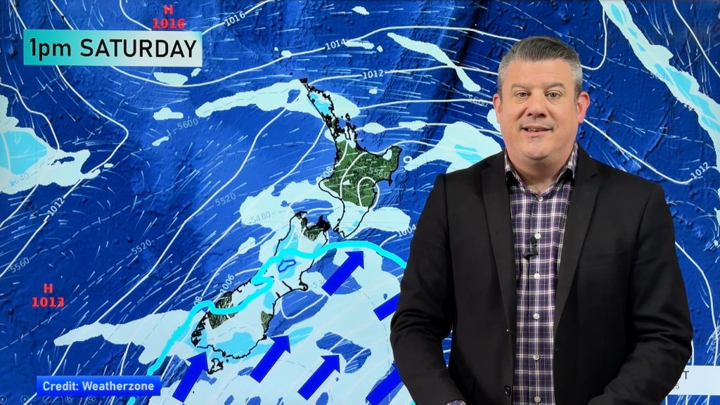
Wintry change for some, windy and warm for others
A cold snap is moving up NZ today and Saturday, before easing Sunday and clearing most places on Monday –…
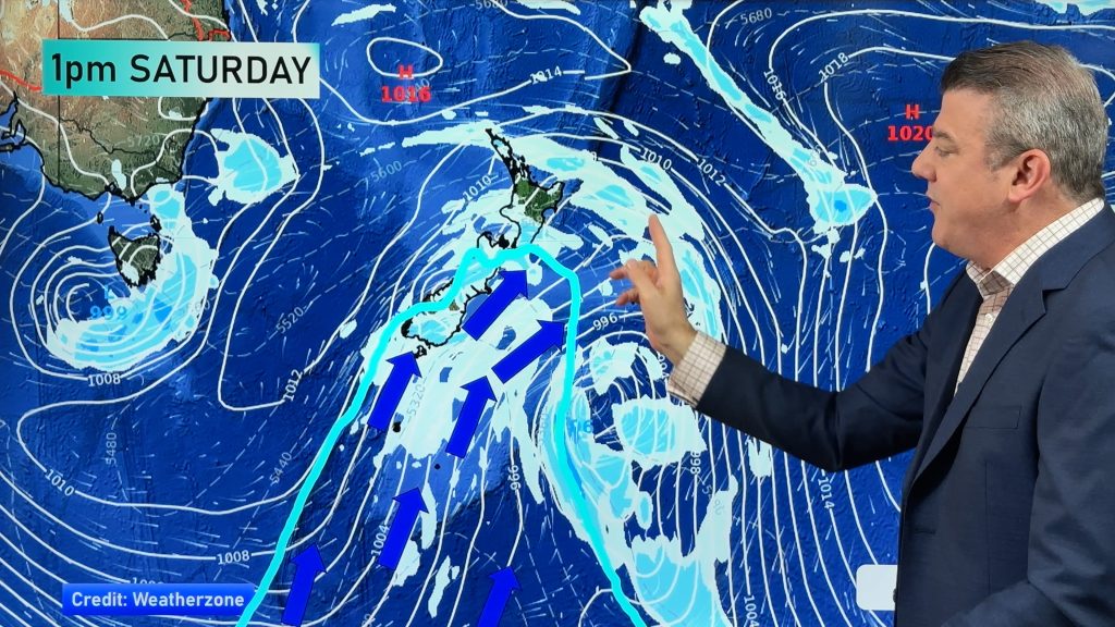
Another cold blast this weekend + Christmas Day weather
As we’ve been saying for several weeks now, we have a spring-like pattern going through December, but with summer-like temperatures….


Add new comment