Weekend Newsfeed: High pressure crosses NZ ahead of low next week
6/04/2024 4:00am

> From the WeatherWatch archives
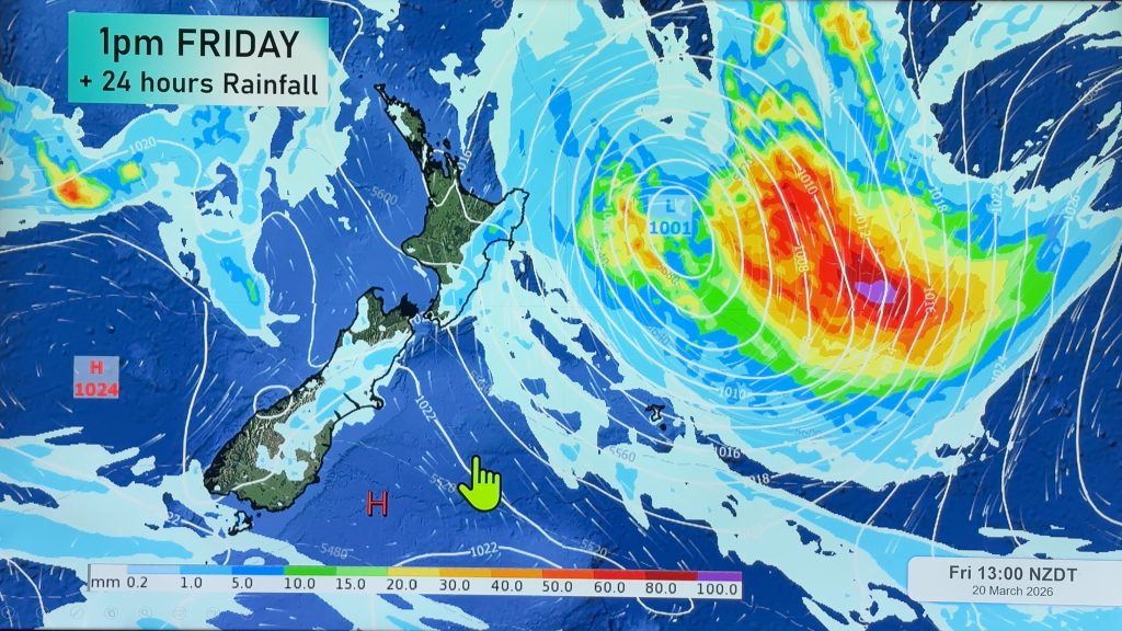
A powerful high pressure zone is moving into NZ, crossing the country this weekend, then exiting to our east through the start of next week.
This process means we go into the weekend with a cooler southerly fading away – and we kick off next week with a warmer northerly moving in and building.
Most places are dry but a few showers do remain around the upper North Island – where it may also be a bit cloudy again. High pressure systems in the months of shorter daylight hours can be cloudier in coastal areas, more so than their summer counterparts.
Later next week low pressure and rain from the Tasman Sea/Australia area will likely move into New Zealand. We’ll have more details in our Friday RainWatch Video.
Weather Maps you might find helpful today are …

WeatherWatch.co.nz / New Alerting App
Comments
Before you add a new comment, take note this story was published on 6 Apr 2024.


Add new comment
Alan on 6/04/2024 5:38am
Do the high pressure systems that move west to east over Australia and New Zealand eventually fall apart somewhere east of NZ,?
Or do they stay intact and the same ones constantly circulate around past NZ?
Reply
WW Forecast Team on 7/04/2024 2:20am
Hi Alan, many of them continue on but eventually they shift centres as they merge with another high…a bit like how water dripping slowly down a window can merge with another drop of water.
Cheers 🙂
– WW
Reply