Wednesday Newsfeed: New southern cold front as sub-tropical low tracks near north
7/05/2024 10:39pm

> From the WeatherWatch archives
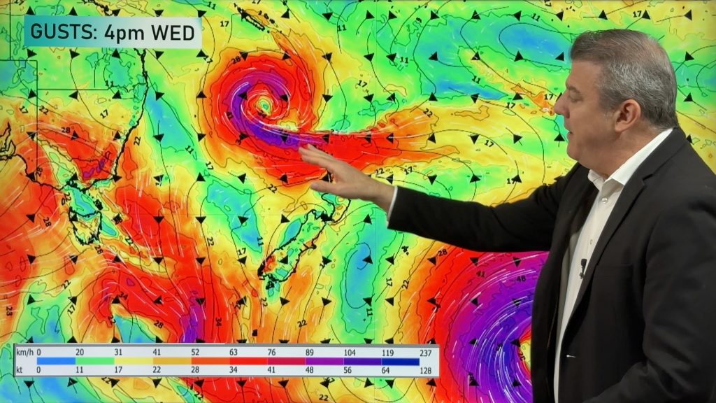
A southern cold front moves into the South Island today & tonight while low pressure in the sub-tropics deepens north east of New Zealand and tracks southwards.
Between these systems – and the big powerful high pressure zone around Tasmania controlling them all – there is a south to south easterly flow which will strengthen for the North Island over the next couple of days. This SE flow will also drive in cloud and showers to the east, both from the incoming weak cold front but also the offshore sub-tropical low.
Many northern, inland and western parts of the nation are fairly dry or completely dry.
Frosts are likely overnight tonight/Thursday morning in the South Island and may be widespread inland. The North Island has a higher frost risk tomorrow night/Friday morning.
Use our new app to drill down much deeper and to see frost risk graphs and maps + hyper local expected rainfall totals.


- WeatherWatch.co.nz
Comments
Before you add a new comment, take note this story was published on 7 May 2024.


Add new comment