Wednesday Newsfeed: Thunderstorms, hail, squally showers move into north, cold in south – but high pressure returning
29/05/2024 6:37am

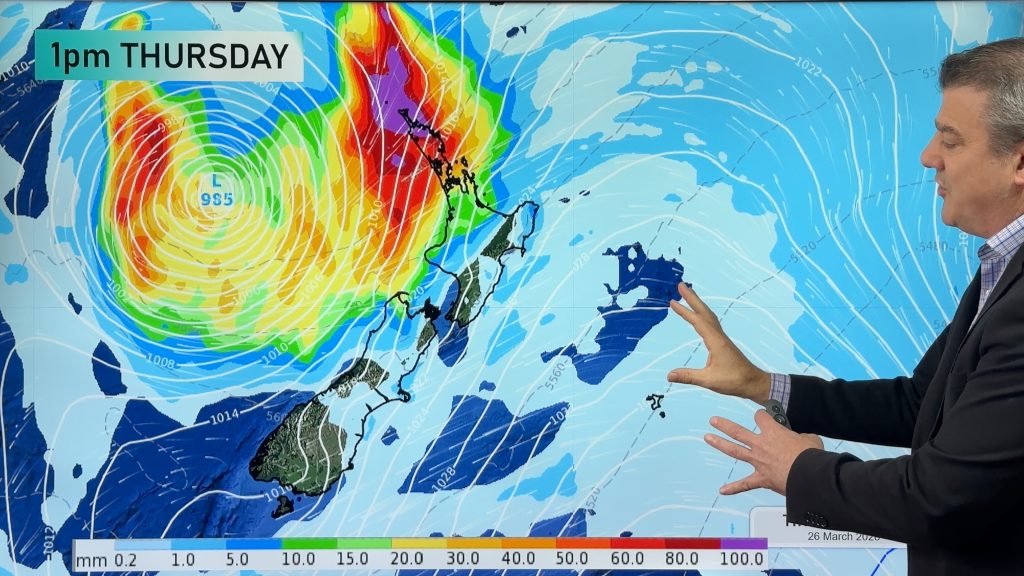
> From the WeatherWatch archives
Apologies – we have no weather video today due to travel. Wednesday is a colder and wetter day for northern NZ as a surge of gales and rain/showers moves through. The windy weather is from a straight line “squash zone” between the deepening low pressure zone east of the North Island and the incoming high pressure system to the west.
It’s this area of high pressure that has controlled NZ’s weather for the past couple of weeks, being placed near Tasmania – but by Saturday it lies near the Far North and this more northern placement ushers in milder winds for NZ late week and into Saturday.
Weather on Wednesday will come in to NZ from the Southern Ocean and Tasman Sea regions.
The squash zone of windy to gale force sou’westers will move into Auckland on Wednesday afternoon and evening and will affect other northern parts of NZ, such as Coromandel Peninsula and coastal Waikato, Northland and Taranaki. Some isolated power outages are possible. These winds remain on Thursday but not to the same intensity. Some showers elsewhere may be squally and bring locally strong winds and heavy rain, possibly hail and isolated thunderstorms too.
Thursday is also windy and cooler but some in the lower South Island may notice the temperatures starting to lift just a little ahead of the windy nor’wester late week (which will have Australian and sub-tropical connections). Northerners should also notice maximum temperatures lifting by a degree or two on Thursday as opposed to Wednesday.
Snow will fall across the lower South Island overnight Tuesday and on Wednesday as the cold air comes in. This may affect highways.
High pressure is approaching NZ – but the journey isn’t 100% locked in. View our weather today for more details.


*Maps powered by Weatherzone, Graphics by WeatherWatch.
- WeatherWatch.co.nz
Comments
Before you add a new comment, take note this story was published on 29 May 2024.
Latest Video

Update on severe weather around NZ as storm moves in + outlook for next week
Heavy rain and damaging wind gusts are forecast today, tonight and into Friday across parts of New Zealand as a…
Related Articles
Update on severe weather around NZ as storm moves in + outlook for next week
Heavy rain and damaging wind gusts are forecast today, tonight and into Friday across parts of New Zealand as a…

Subtropical storm moving in, gales and some heavy rain, especially Thu/Fri
Heavy rain and gale winds will slowly move down the country over the next 24 to 36 hours a subtropical…
Tropical storm to bring severe weather to NZ, gales & heavy rain
A tropical cyclone is today leaving the tropics and will grow into a larger storm system for a time in…


Add new comment