Weather Video: Tropical Cyclone Lusi UPDATE
11/03/2014 11:25pm

> From the WeatherWatch archives
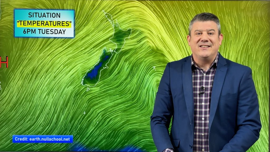
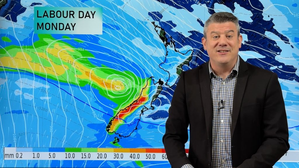
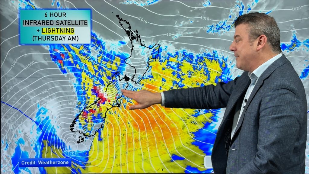
Tropical Cyclone Lusi continues to intensify as it approaches New Zealand.
The storm will weaken once it arrives this weekend but heavy rain and severe gales are looking likely for parts of the North Island, especially the upper North Island.
While it’s still a little too early to lock in all the severe weather regions we do our best at sharing our thoughts based on the latest models – including where the centre of the storm will be at various times across the next five days.
Comments
Before you add a new comment, take note this story was published on 11 Mar 2014.


Add new comment
Guest on 14/03/2014 9:48am
Hi
Going to be heading into work on saturday. How will Auckland be on Saturday night? Leaving work at 9pm and hoping not to get caught in bad weather…
Reply
jill on 13/03/2014 11:27am
Hi
Feeling a bit concerned my partner is meant to be coming back from
Taupo on sat will it be ok to drive goin to wellington.
Reply
WW Forecast Team on 13/03/2014 5:54pm
Wet and windy weather will be moving down the country – best to make a call on conditions at the time and listen to the MetService warnings and watches.
All the best
WW
Reply
Ted Blore on 12/03/2014 10:18pm
Hi Phil, we are planning a driving holiday next week (landing in Queenstown Sat. P.M. and flying out of Christchurch a week later). With ‘ex’ T.C. Lusi looming do you think we’d be better off moving the dates to a week later? A day or 2 of inclement weather would be tolerable, but I’d hate to spend the week in hotel rooms watching DVDs. As it stands, I can’t see us getting in our horse ride in Glenorchy on Sunday.
Also have to say – ‘love your style’.
Many thanks,
Ted
Reply
WW Forecast Team on 12/03/2014 11:34pm
Hi there Ted – thanks for the positive feedback 🙂 Much appreciated. Lusi will only impact the South Island from Saturday to Monday. By Monday PM it should have gone and a new Autumn-like westerly flow moves in. Have a good trip!
Phil
Reply
Guest on 12/03/2014 5:26pm
This is a fantastic website, very informative and up to date. Can you tell me why metservice has Lusi forecasted differently even forecasting Northerly 40knots for the Far North marine weather?
Reply
WW Forecast Team on 12/03/2014 6:45pm
Good morning – the winds around the centre of the low are very compact – meaning, for example, if the low were to directly hit Northland one side could have northerlies and the other southerlies. So both MetService and WW may well have identical forecasts for some areas but either of us could have opposing winds and directions simple due to not knowing exactly where that centre will lie at a specific update time. +/- 3 hours and the winds could have changed direction and strength considerably at a certain location. We also use and trust different models – but at the end of the day we’re both on the same page with this low and the areas likely affected and rough timings.
WW
Reply
Eliott brookes on 12/03/2014 7:39am
Hi guys,
Just wanted to say thank you for such a great service! I have only just found out about what you do. FD videos are fantastic as well as your prompt reply’s.
Thanks again and be safe all.
Eliott
Reply
WW Forecast Team on 12/03/2014 9:14am
Hey Eliott – thanks very much – really apprecaite the feedback and glad you like the service! We enjoy interacting with our readers & viewers – it’s what makes this job so much fun 🙂
Cheers
Phil & the team
Reply
View more comments