VIDEO: Tracking Thursday’s severe gales + Labour Weekend weather
22/10/2025 11:35pm
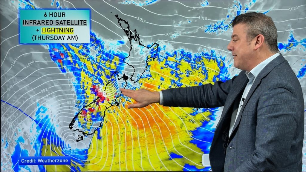
Severe gales (reaching hurricane force in places with gusts over 220km/h this morning in exposed parts of Marlborough) will blow through across Thursday in a number of regions as a deep low pressure system tracks past Stewart Island.
Heavy rain and thunderstorms spread up the West Coast while damaging winds are possible across parts of the South Island and lower North Island. The good news is that the worst of these winds should ease tonight. Keep up to date with MetService warnings and watches.
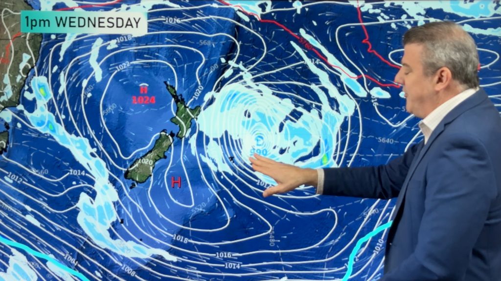
The long weekend forecast is a bit messy – but still some dry, sunny, weather for a number of places. But some areas won’t shake those windy westerlies – with another surge coming in on Sunday and Monday, and again Tuesday.
We break it all down for you.
Comments
Latest Video
Rare blood moon lunar eclipse tonight + Yes, NZ’s weather is warming back up again
We had our coldest morning of the year so far today and tonight will also be a little cool (but…
Related Articles
Rare blood moon lunar eclipse tonight + Yes, NZ’s weather is warming back up again
We had our coldest morning of the year so far today and tonight will also be a little cool (but…
ClimateWatch: MARCH is looking quite orderly to start with
Storms near Antarctica, Autumn’s westerlies building south of Australia & NZ, high pressure again affecting both nations and the tropics…
Colder tonight for many, Lunar eclipse Tuesday, high pressure dominates
A lot of low pressure is spinning east of the country while a large high is moving in – this…


Add new comment