Weather headlines (x3) for Wednesday: Precipitation outlook, Place to be, Any strong winds on the Horizon?
3/05/2022 7:00pm

> From the WeatherWatch archives
Here’s what is making the weather headlines today.
HOWS THE PRECIPITATION OUTLOOK LOOKING?
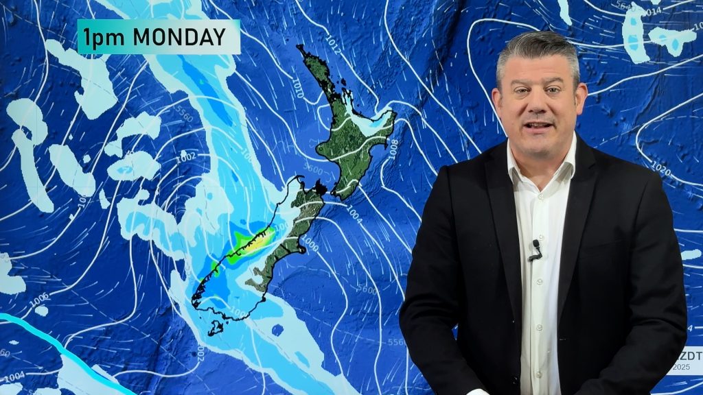
Unless you are living along the West Coast the general outlook continues to be mainly dry through to 11th May. The West Coast mainly receives rain on Sunday as a front moves through. While other regions around New Zealand see some rain or showers on Monday as the airflow tilts more to the south it is nothing overly significant.
Not to potentially speak to soon but longer range models out till the 19th May continue to show a dry trend for most of NZ apart from South Westland.

PLACE TO BE TODAY
To be honest you could have multiple places to be around New Zealand today, the weather is pretty good, at least after morning low cloud burns away. But somewhere that is sunny from first thing this morning till dusk, light winds all day, I would have to say Central Otago. Temperatures are reasonable also getting into the late teens.
The below graph is Alexandra through till Monday next week.

ANY STRONG WINDS ON THE HORIZON?
Not really it seems, at least in the short term…… with plenty of high pressure comes light winds.
Sunday will see northerlies start to become strong through Cook Strait though and northerly quarter winds ahead of a front pushing northwards over the South Island may be a bit breezy for the West Coast.
Finally, south to southeasterly winds for the North Island may be brisk to strong about some coastal parts on Tuesday next week.

Sunday 8th May 3pm 
Tuesday 10th May Midday
Comments
Before you add a new comment, take note this story was published on 3 May 2022.


Add new comment