> From the WeatherWatch archives
Sub-tropical airflows and westerly winds are helping make for milder than average afternoons in a number of places this weekend.
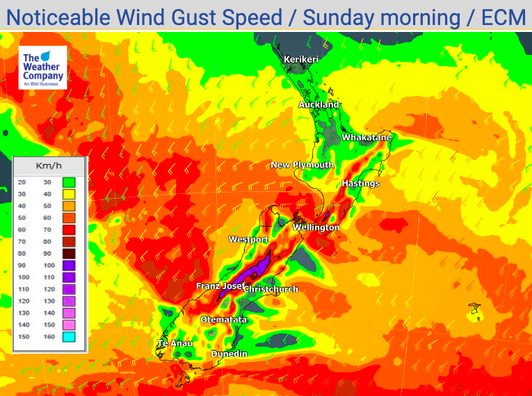
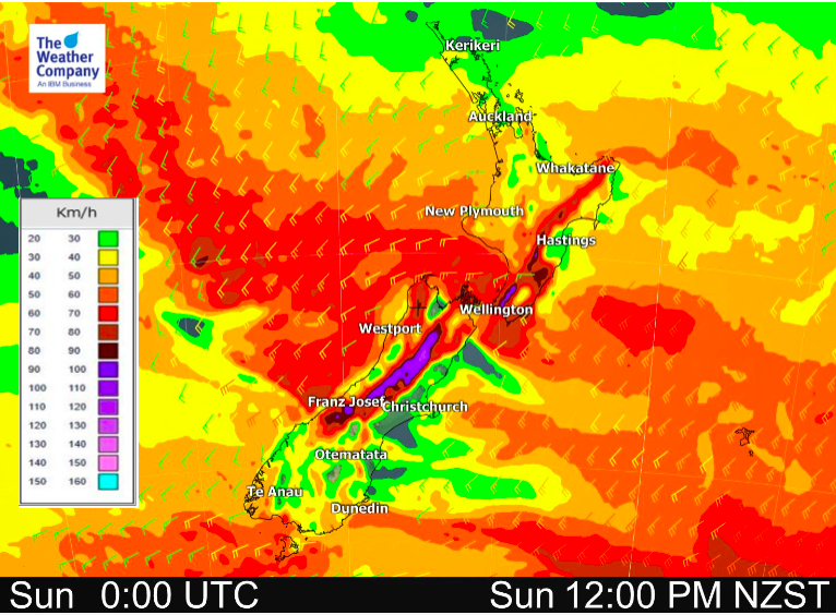
Windy conditions in some hilly areas (with gusts over 130km/h on the ranges in North Canterbury for example) will help lift temperatures too, especially in the east.
Saturday is either bang on average or up to 4 degrees warmer than normal.
Sunday is several degrees above normal in Canterbury while many others are +1C to +4C above normal. Only Southland and Central Plateau have temperatures around average.
“Normal” or “average”, is simply the mean temperature recorded on this date over the decades across the country. When the average is worked out it then helps point out when we’re warming up or cooling down weatherwise (and climatewise over decades). Of course, it’s also “normal” to see temperatures move around in New Zealand, due to our location on earth, but the “Departure from normal” maps are a very helpful guide at a glance to see if this is above or below what has historically been recorded on this date. Also, on a human level, we often tend to notice if the temperature departs from normal by more than a couple of degrees “Oh, it’s a bit colder today”, or “Pretty nice day compared to yesterday”, for example.
This is a unique product made by qualified meteorologists exclusively for WeatherWatch.co.nz.


Need to drill down deeper? Use NZ’s largest weather data website for your local area – www.RuralWeather.co.nz
Comments
Before you add a new comment, take note this story was published on 10 Jul 2020.


Add new comment