VIDEO: Your Labour Weekend Forecast — A 15 degree drop for some on Monday!
22/10/2020 10:14pm

> From the WeatherWatch archives
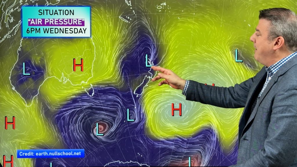
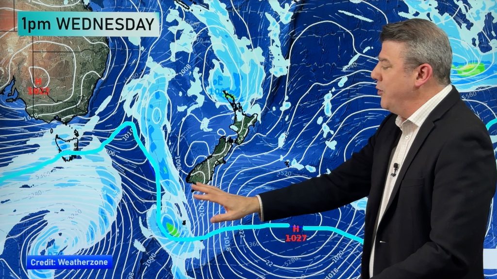
We have the latest on the weekend which kicks of warmer than average and ends with a colder, wetter, change from the south.
We have a mixture of drizzle, dry spells and downpours (the 3 “D’s”!) in the north and perhaps even a couple isolated inland thunderstorms by afternoon.
Rain moves up the South Island on Monday with daytime highs falling by as much as 15 degrees in some places.
Comments
Before you add a new comment, take note this story was published on 22 Oct 2020.


Add new comment
carolekilincli on 24/10/2020 4:06am
I see the cold front but that does not explain the temps at 21* all week?
Reply
WW Forecast Team on 24/10/2020 9:57am
The cold air only reaches about the mid North Island, with southern NZ most exposed.
Cheers
– WW
Reply