VIDEO: Powerful high pressure zone moving in to NZ, we track the showers
17/09/2019 1:06am

> From the WeatherWatch archives
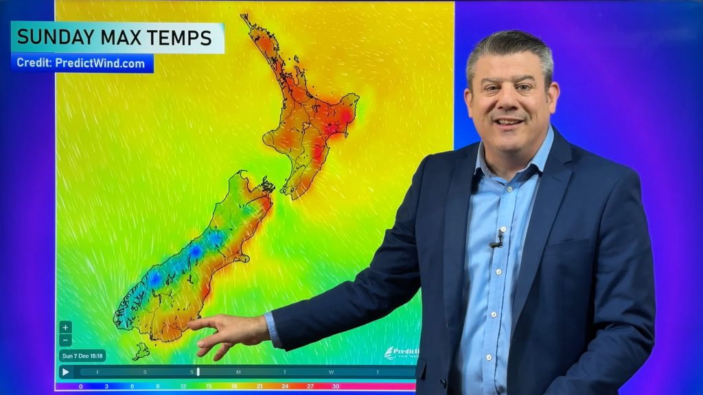
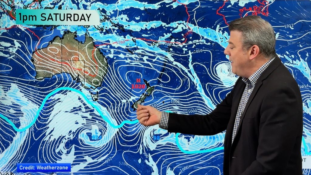
A large and powerful high pressure system in the Tasman Sea is heading NZ’s way, arriving Wednesday and lingering until Monday.
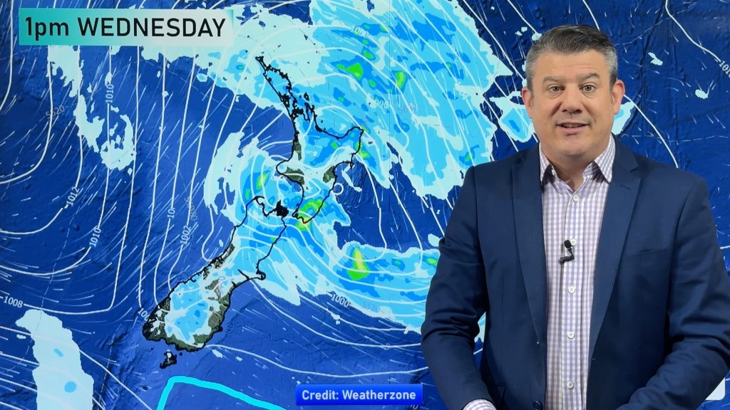
However not everyone will have 100% dry weather, so we track the most likely areas to get showers in the days ahead.
We also track the current cold front moving up the country bringing a few showers for Tuesday and a cooler change for northern NZ overnight (it won’t be much!) The weather stays settled until about Sunday and Monday, then it starts to go downhill in the very south of the country with W to NW winds picking up and rain early next week returning to the West Coast.
Comments
Before you add a new comment, take note this story was published on 17 Sep 2019.


Add new comment
Guest on 17/09/2019 3:36am
its funny how sydneys getting snow but the north islands hardly had any
Reply