VIDEO: Powerful anticyclone to bring sub-tropical air to NZ next week
13/04/2023 11:46pm

> From the WeatherWatch archives
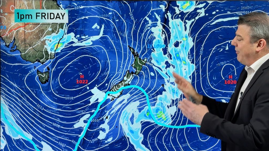
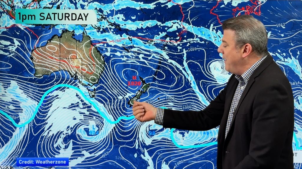
Cyclone Ilsa made landfall in WA early Friday as a powerful recording breaking cyclone but NZ has a powerful anti-cyclone which will dominate our weather for the coming week ahead.
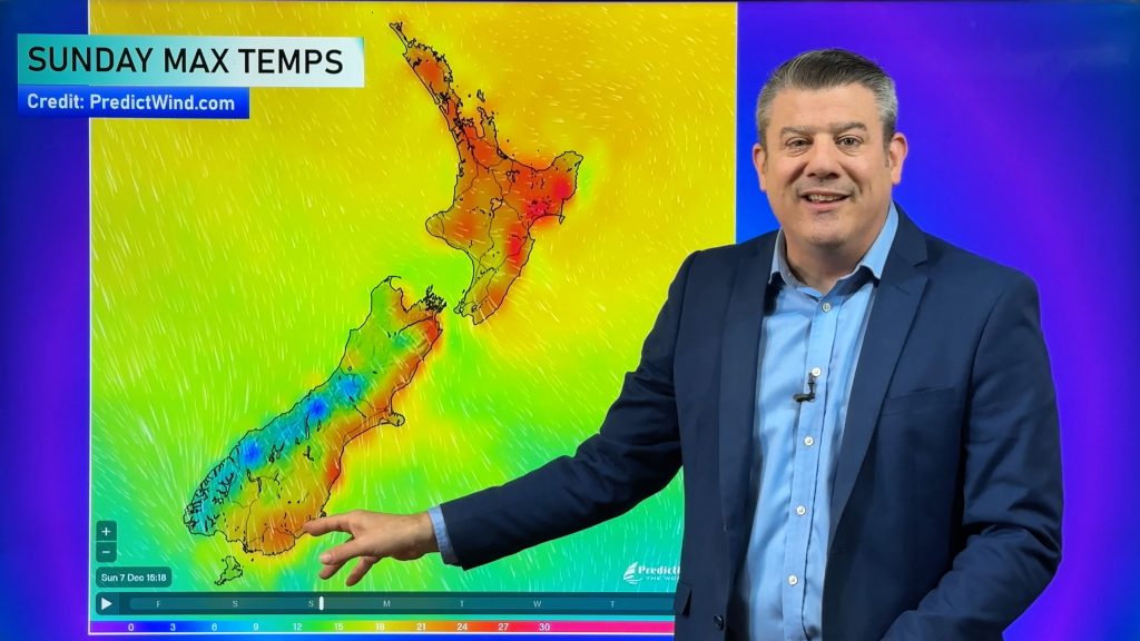
The anti-cyclone (or high pressure zone) will be parked to our east and will grow in size in the coming days. This, coupled with a low i the Tasman Sea and lows in the tropics, will help produce a warmer than average week next week for all of NZ. Northerly quarter winds will dominate for several days. Windy nor’easters will be the theme for some regions in the north of the country.
In Australia Ilsa was still a Severe Tropical Cyclone (Cat3) when we recorded this, but will likely lose its tropical cyclone status by late Friday or Saturday at the latest. It broke an Australian recorded for highest sustained 10 minute winds, which clocked in at 218km/h, breaking the 2007 record which was in the 190km/h range. Note this is SUSTAINED winds, not gusts – which were estimated to be closer to 240km/h or higher. Australia has some unsettled weather this weekend – but conditions ease next week as the next high from the Indian Ocean moves in.
Have a great weekend! See you Monday.
Comments
Before you add a new comment, take note this story was published on 13 Apr 2023.


Add new comment