VIDEO: Today’s severe weather update + weekend outlook
28/07/2025 10:18pm

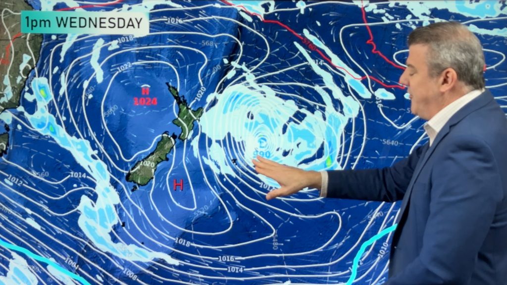
We have the latest on severe weather risks moving into New Zealand for Tuesday and overnight into Wednesday for some areas.
Damaging winds and heavy rain are forecast into both of the main islands – and the slow movement of it all increases the risks of slips, flooding and wind damage.
By Wednesday afternoon it should be gone – with showers and a few isolated thunderstorms from the west, and colder air moving northwards.
As we go into the weekend we track a couple of nearby lows – but also more strong high pressure returning to the NZ area.
Keep up to date with MetService’s official warnings and watches today.
Comments
Latest Video
Rare blood moon lunar eclipse tonight + Yes, NZ’s weather is warming back up again
We had our coldest morning of the year so far today and tonight will also be a little cool (but…
Related Articles
Rare blood moon lunar eclipse tonight + Yes, NZ’s weather is warming back up again
We had our coldest morning of the year so far today and tonight will also be a little cool (but…
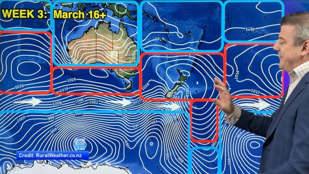
ClimateWatch: MARCH is looking quite orderly to start with
Storms near Antarctica, Autumn’s westerlies building south of Australia & NZ, high pressure again affecting both nations and the tropics…
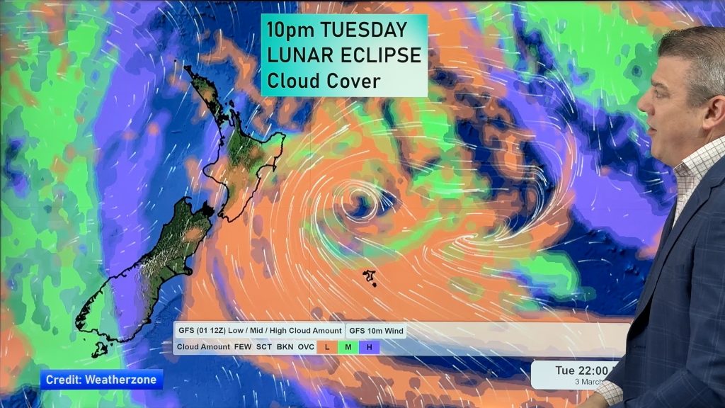
Colder tonight for many, Lunar eclipse Tuesday, high pressure dominates
A lot of low pressure is spinning east of the country while a large high is moving in – this…


Add new comment