VIDEO: NZ’s weather forecast for the rest of November
24/11/2024 11:30pm

> From the WeatherWatch archives
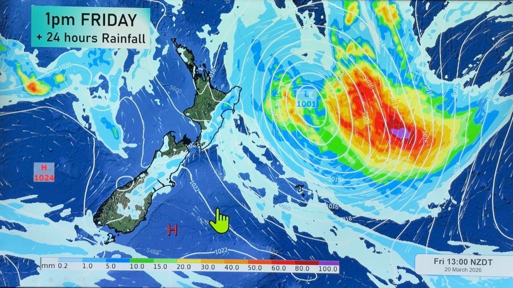
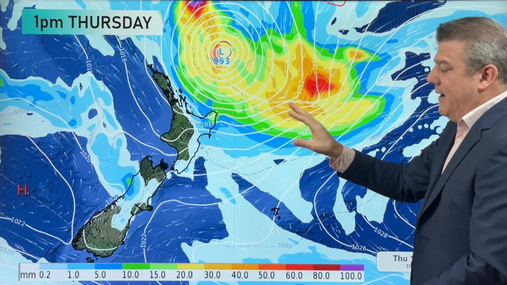
There is a westerly flow around NZ this week which peaks on Thursday as the next cold front moves into the south and south-west of the South Island.
This week is warmer than average in most regions – and drier than average too, except for the West Coast.
We have your forecast for the rest of November, which ends this Saturday.
Comments
Before you add a new comment, take note this story was published on 24 Nov 2024.


Add new comment
Jason on 25/11/2024 12:36am
Hi Phil, Are these large, and more intense, cyclones and anticyclones usual? Or are they perhaps an indication of the changing global climate? Some of those air pressures seem extreme – are they to be expected? Keep up the great work – many thanks!
Reply
WW Forecast Team on 25/11/2024 12:50am
Hi Jason, climate change is measured over decades so a year of intense air pressure systems isn’t necessarily any signs of change. Storms over the Southern Ocean are normal all year round, but certainly in recent months we’ve seen a lot of extra powerful highs and lows in both northern and southern hemispheres. The increase in them may be connected to the warming planet.
Sadly, a lack of historical data in NZ due to government agency NIWA commercialising data that was given to them by volunteers and public weather stations over the decades makes it much harder for the NZ public and private forecasters to track and display what is normal and whether or not NZ is seeing any shifts in what “normal” air pressure is here.
Cheers
Phil D
Reply