VIDEOS (x2): NZ’s next cold front arrives this weekend & cyclone for Queensland
23/01/2024 8:45pm

> From the WeatherWatch archives
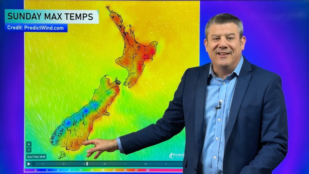
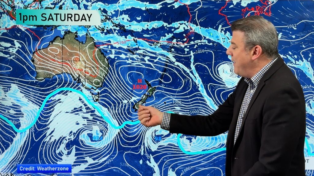
A colder start to Wednesday but high pressure is crossing the country over the next day or two, bringing settled weather into the South Island and western North Island in particular. However westerly winds out of Australia do return in the days ahead pushing temperatures back up – ahead of the next cold front this weekend.
The next cold front isn’t as significant as the one we’ve just had – but it will bring in cloud, showers and patchy areas of rain over the coming weekend.
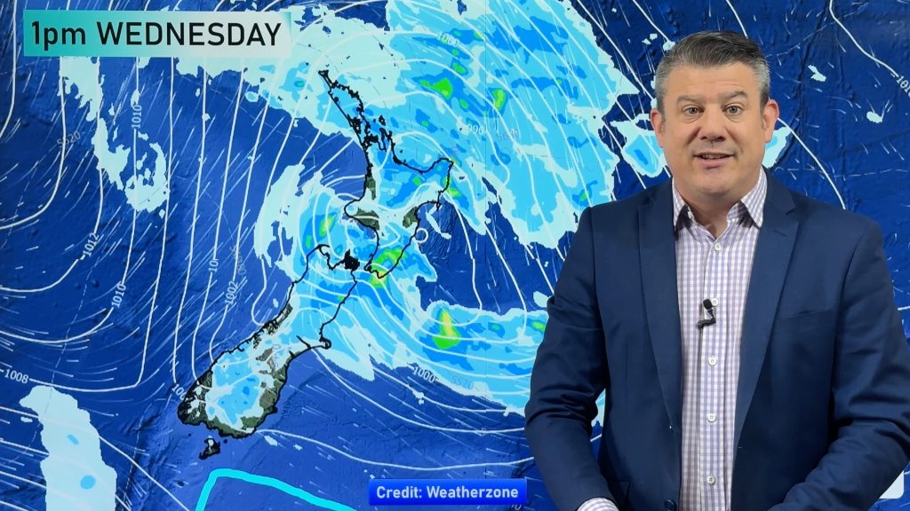
Next week, a low east of the North Island and a high west of NZ may bring in some wind, rain and showers for a time – especially in the North Island. We’ll have more details about that in our Thursday weather video.
Programming Notes:
- Australia 7 Day Forecast is brought forward one day to today, so we can cover the cyclone – you can view today’s Australia video here.
- We have NO weather video this FRIDAY (Jan 26th).
Comments
Before you add a new comment, take note this story was published on 23 Jan 2024.


Add new comment
Dr bruce mckerchar on 24/01/2024 12:13am
Dear Saint Phillip
I can’t understand why you get complaints from us in the south
TV 1 weather is BS compared with your videos, and I can not understand how you forecast cyclone Gabriel to hit up north 2 WEEKS before it happened
Arohanui
Reply
WW Forecast Team on 24/01/2024 12:26am
Hi Bruce, that is especially kind of you. Your one kind comment beats all the complaints from there :). Many thanks – and your weather warms up from tomorrow onwards… sure isn’t summer like today!
Kind regards
Phil D
Reply