> From the WeatherWatch archives
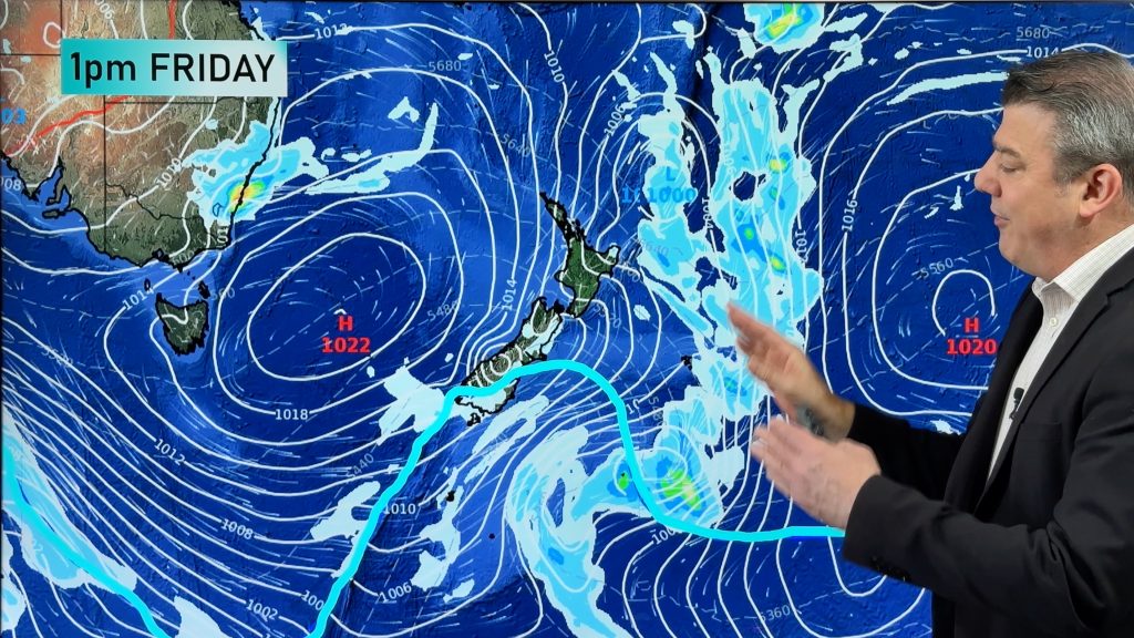
We have a special long range forecast today, right through until Tuesday of next week as we track a potential second polar blast for parts of NZ.
The cold south west flow over New Zealand today has affected flights in and out of Dunedin, affected farms and highways and brought squally hail showers to the western North Island.
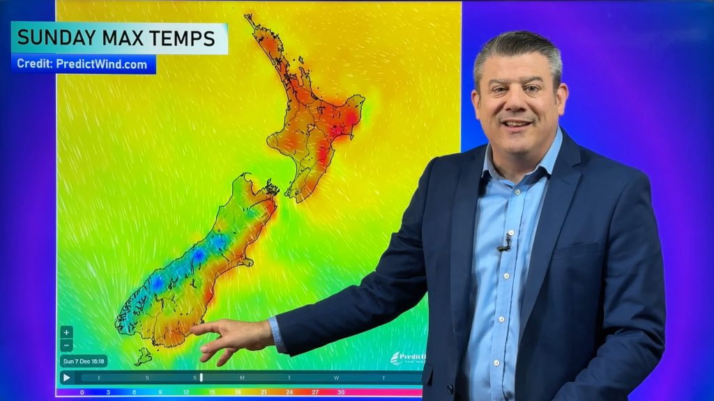
On Sunday it even brought snow to sea level on the West Coast, which is rare. Conditions warm up this week and some will even have sub-tropical breezes for a time.
There’s a brief localised South Island southerly on Thursday then this weekend a large low crosses the country with rain and showers. But it’s next week where NZ may once again face another southerly – and potentially, this one may be even colder for some if long range models pan out.
Comments
Before you add a new comment, take note this story was published on 4 Aug 2019.


Add new comment
Guest on 5/08/2019 2:08am
Interesting to see the effects of the Solar Minimum on the Earth climate of late
I feel the Met office need to be clear on their forecasts of Sou’Wester or Southerly when it involves Wellington
Southerlies were mentioned several times for the city over the past week, but none arrived
the difference in our weather is night and day
A Southerly would have given us gales and hail or sleet over the past days, but as we had Sou’Westers it has been cold but brilliantly fine as it is today and not a cloud to be seen
Meanwhile those down south that have been exposed to the Sou’Westerlies are copping the lot
Just my 2 cents worth
Reply