VIDEO: NZ: Low pressure arrives with gales & rain, high pressure by Sunday
11/04/2024 12:16am

> From the WeatherWatch archives
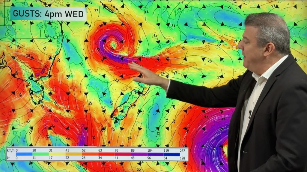
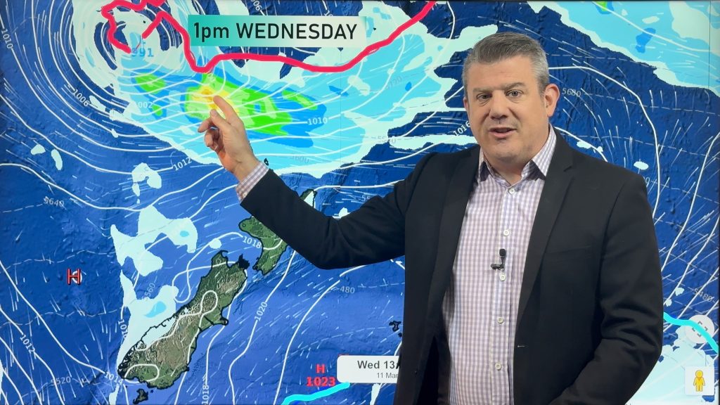
A low is moving into NZ over the next 24 hours and with it a surge of gales and a burst of rain for both main islands. In fact it’s the upper North Island’s turn to get some rain going into Friday along with the upper South Island – two large areas that perhaps need the rain the most.
Keep up to date with our local rainfall totals in our new alerting app so you get fewer nasty surprises.
By Saturday the low is in Cook Strait and weakening – but will bring a surge of windy westerlies to the upper western North Island (and warm nor’westers to the eastern North Island). At the same time a southerly change moves up the South Island.
On Sunday and into next week high pressure is nearby to NZ, bringing showers but a generally drier and more settled pattern.
Comments
Before you add a new comment, take note this story was published on 11 Apr 2024.


Add new comment
jim on 11/04/2024 5:24am
Your video reports are always great. Really clear description. Thank you.
Reply
Neil on 11/04/2024 2:07am
What’s the risk of a storm surge here on the west coast of South island with the big low off the coast and high tides at the moment? Something to look out for?
Reply
WW Forecast Team on 11/04/2024 3:39am
Hi Neil, there will be some storm surge with this but the angle of the wind is better being from the North to North East than if it were the north-west – where it would pile up the water more as it came in.
MetOcean is a good site to check out for more details – their maps show the worst of the swells remaining offshore. https://www.swellmap.co.nz/map-forecasts/swell-height
Kind regards,
WW
Reply