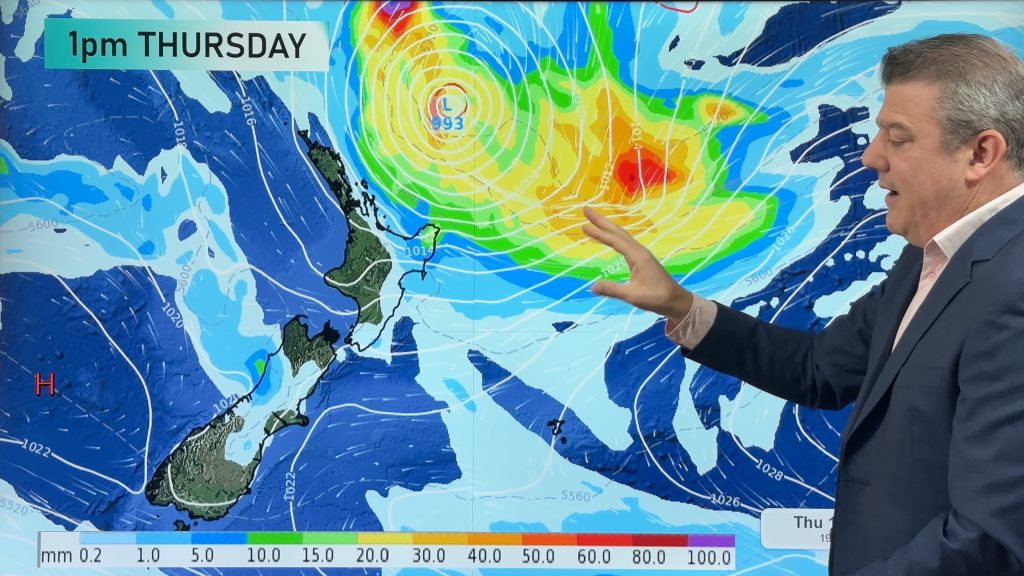
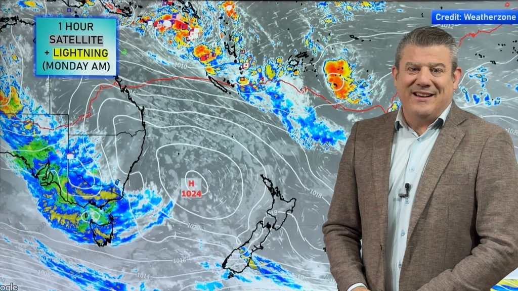
VIDEO: NZ 8 Day – Big lows now in the mix
25/01/2024 11:30am

> From the WeatherWatch archives
It’s still the middle of summer but the weather pattern is about to become more unsettled in NZ as at least two large low pressure zones move through over the next 8 days. One will be partially sub-tropical, the other will be Southern Ocean focused.
Dry areas may still get drier and despite a surge of patchy rain and warmer/hotter winds this weekend, another cooler southerly kicks in next Monday.
But heading into February may mean more lows – with storms across the tropics and the Southern Ocean… NZ’s narrow area of high pressure may not be enough to completely protect us from severe weather.
We have a special long forecast for 8 days today, taking you out to the end of next week.
Programming Notes:
- We have NO VIDEO on Friday or Monday due to Auckland anniversary on Monday.
- We have an EXTRA VIDEO today on Tropical Cyclone Kirrily making landfall in Queensland tonight.
- Our next Video will be on Tuesday – see you then!
Comments
Before you add a new comment, take note this story was published on 25 Jan 2024.


Add new comment