VIDEO: Low pressure to drift back into NZ by Sun/Mon
18/06/2024 11:50pm

> From the WeatherWatch archives
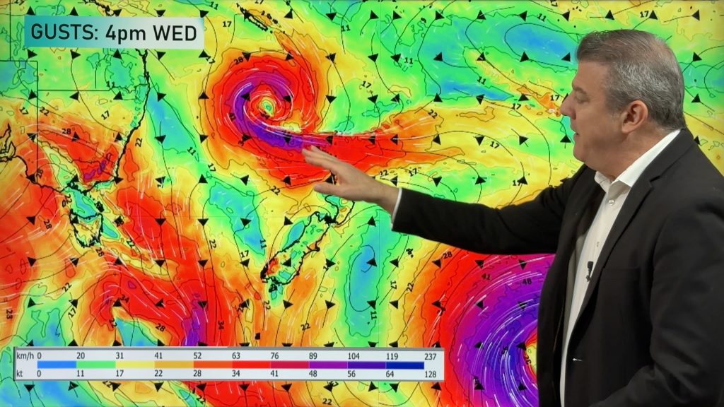
A large low remains over the Tasman Sea but a nearby high pressure zone east of Dunedin is making for a windier set-up in some parts of NZ today, mostly from Auckland northwards, around central NZ and then down around coastal Otago.
Most places don’t have major winds but some windy weather is likely in exposed places as we go through Wednesday and into Thursday.
Eastern areas, mostly from East Cape southwards, are coolest – and warmest air is to the north and west of the North Island – but a milder nor’wester kicks back into the South Island later this week and weekend.
By Sunday and Monday the low over the Tasman Sea will likely drift back into NZ with more rain and showers – and milder than usual weather (especially overnight temperatures) in many regions. We have your forecast through to Monday.
Comments
Before you add a new comment, take note this story was published on 18 Jun 2024.


Add new comment