VIDEO: Hotter weather returns to NZ ahead of Monday cold front
26/02/2024 11:25pm

> From the WeatherWatch archives
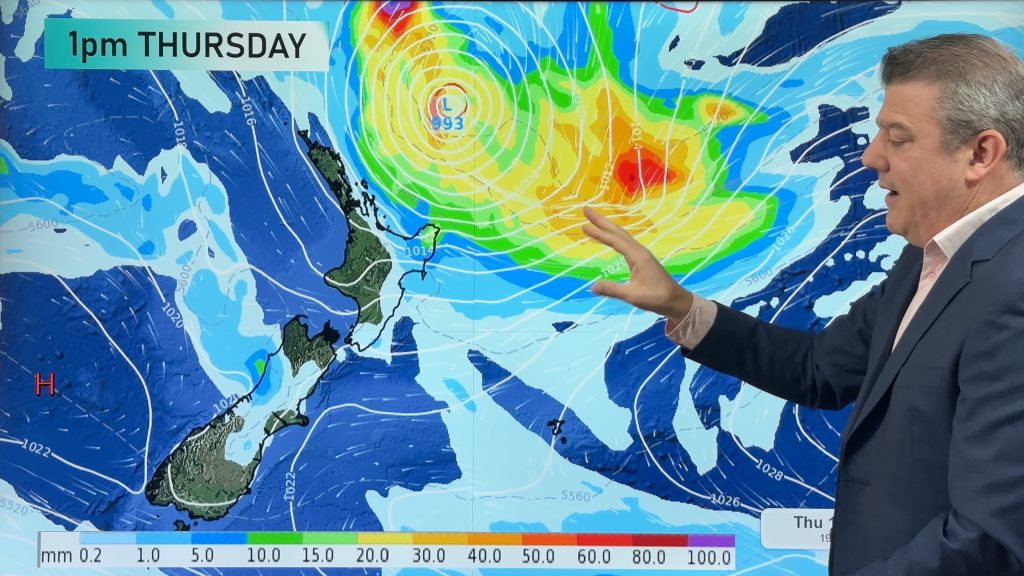
High pressure from south-eastern Australia is drifting towards NZ this week and over the weekend it will slide out to our east, ushering in a hotter, windier, nor’wester that may see some regions return to the 30 degree mark, or above.
The nor’wester is ahead of a cold front and low pressure zone on Monday and Tuesday – which will bring a nationwide cool down, along with the chance of severe weather (gales, heavy rain and thunderstorm risks). There may even be snow along the ranges.
The weather is being generated by a storm in the Southern Ocean.
High pressure is expected to return next week after this. We have your detailed forecast through to Monday for NZ and parts of Australia too.
Comments
Before you add a new comment, take note this story was published on 26 Feb 2024.


Add new comment
Marty on 27/02/2024 12:58am
What’s the snow level looking like next Monday/Tuesday with that cold front coming through?
Any chance of snow down to 600m in the Queenstown region?
Reply
WW Forecast Team on 27/02/2024 1:05am
Hi Marty, unsure of snow levels this far out but they are likely over 600 metres. Queenstown looks snow free. Although worth noting next Tuesday +8c will be Queenstown’s daytime high at this stage. 🙂
– WW
Reply
Marty on 27/02/2024 3:02am
Looking forward to it! Perhaps some snow on crown range rd at 1000m elevation is possible?
Reply