VIDEO: Frosts, colder nights, showers & high pressure
7/05/2024 1:16am

> From the WeatherWatch archives
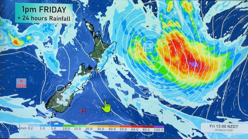
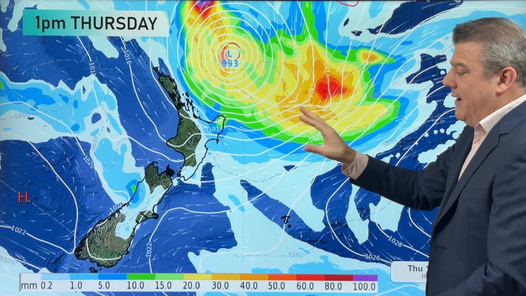
High pressure is to the south-west of NZ, low pressure to the north-east – this creates a colder southerly quarter flow into NZ off and on across this coming week. This means frosts, widespread for the first time in 2024, will fan out across a number of sheltered South Island areas and then spreads further into the North Island by Friday (although not as widespread in the north).
A couple of weak cold fronts this week will bring showers to the south and east of both main islands and a dusting of snow on the ranges.
Meanwhile a low with tropical connections deepens and grows east of NZ and will help create a south-easterly flow for much of the North Island and that will drag in some showers to Gisborne and East Cape areas.
Comments
Before you add a new comment, take note this story was published on 7 May 2024.


Add new comment
Jay on 8/05/2024 1:23am
Hey WW. Metservice are forecasting -4 in Christchurch tomorrow night, but your forecast is 0. What do you think it’ll be?
Reply
WW Forecast Team on 8/05/2024 1:37am
Hi Jay, likely somewhere around +1 to -3, but some areas across the plains could be down to -4 so yes at the more extreme end it may be possible. Christchurch can have a several degree spread of temperatures at the same moment of time during peak heat and peak cold moments. There are a number of reasons for this, such as cloud cover, wind direction, wind speed, elevation above sea level and proximity to the coastline (where it’s usually a tad milder).
Cheers
Phil D
Reply