VIDEO: Downpours then dry this week – what happens next week though?
9/02/2025 11:02pm

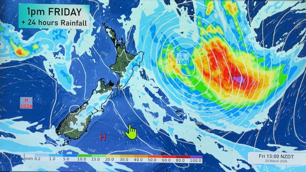
> From the WeatherWatch archives
This week kicks off with some showers, downpours and possibly severe thunderstorms here and there – but the long range forecast is a dry one is a big high pressure zone moves through this week.
The high departs this weekend and drags down a hotter, sub-tropical, northerly or nor-wester boosting the heat and fire risks across both main islands.
But next week might see a change with a chance of a rainmaker for dry areas – it’s not locked in this far out, but we give you a sneak peek into the possibilities of high pressure being replaced by wetter lower pressure.
*Technical Issue: We apologise for the brightness/colour issues in some of the maps in today’s video, it was out of our control today.
**Programming Note: We have no NZ video on Tuesday – see you again Wednesday!
Comments
Before you add a new comment, take note this story was published on 9 Feb 2025.
Latest Video

A tropical low next week *might* affect NZ
It’s not locked in yet, but a tropical storm may end up drifting southwards towards NZ about one week from…
Related Articles
A tropical low next week *might* affect NZ
It’s not locked in yet, but a tropical storm may end up drifting southwards towards NZ about one week from…

Australia: Will Tropical Cyclone Narelle track along half of Oz’s entire coastline?
Tropical Cyclone NARELLE has formed and is heading into northern parts of FNQ, the Katherine region of NT and then…
NZ 9 Day: Two subtropical lows, but a lot of dry weather
In our extended outlook today we track two subtropical storms, one that will likely miss most of NZ while the…


Add new comment
Rastus on 10/02/2025 6:22am
Thanks for the rain 😊
Reply
WW Forecast Team on 10/02/2025 7:05am
Glad you got some! 🙂
– WW
Reply