VIDEO: Colder weekend change coming before sub-tropical winds later next week
13/06/2019 11:20pm

> From the WeatherWatch archives
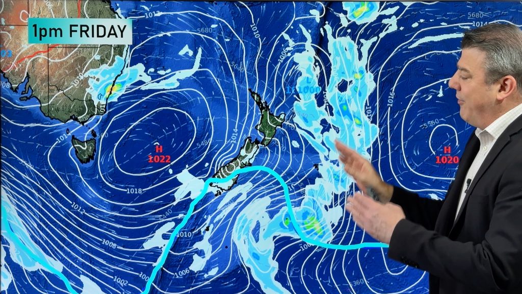
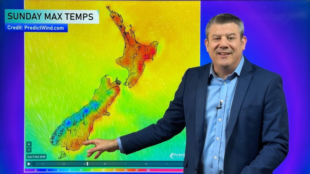
We have a warmer than average Friday and Saturday across many parts of NZ but it changes on Saturday night in the South Island and spreads over 70% of the country into Sunday and Monday.
The cool down lingers into Tuesday too as high pressure rolls in bringing clearer skies and lighter winds.
This means frosts are possible in sheltered areas for a brief time next week in both islands.
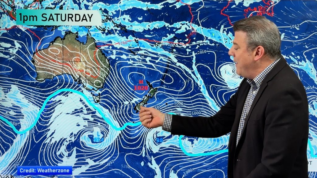
However by late Wednesday or into Thursday a mild sub-tropical northerly flow is expected to form ahead of a Tasman Sea low that is likely to form next week.
– WeatherWatch.co.nz
Comments
Before you add a new comment, take note this story was published on 13 Jun 2019.


Add new comment