VIDEO: Cold front for NZ + New tropical trouble
8/02/2024 11:20pm

> From the WeatherWatch archives
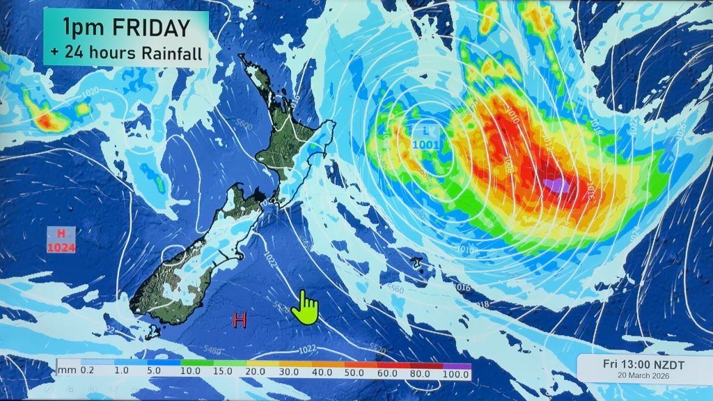
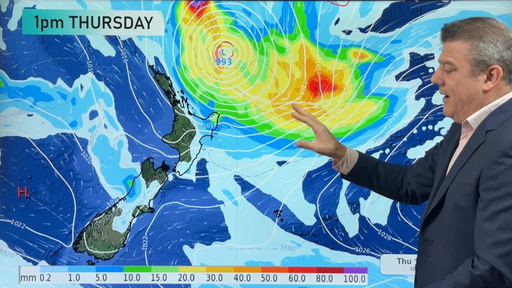
Temperatures will drop nationwide by the end of this weekend, but Saturday be hot in the eastern North Island. The cold front clears away quickly on Sunday and Monday with high pressure rolling in over NZ bringing traditional summer weather back for next week.
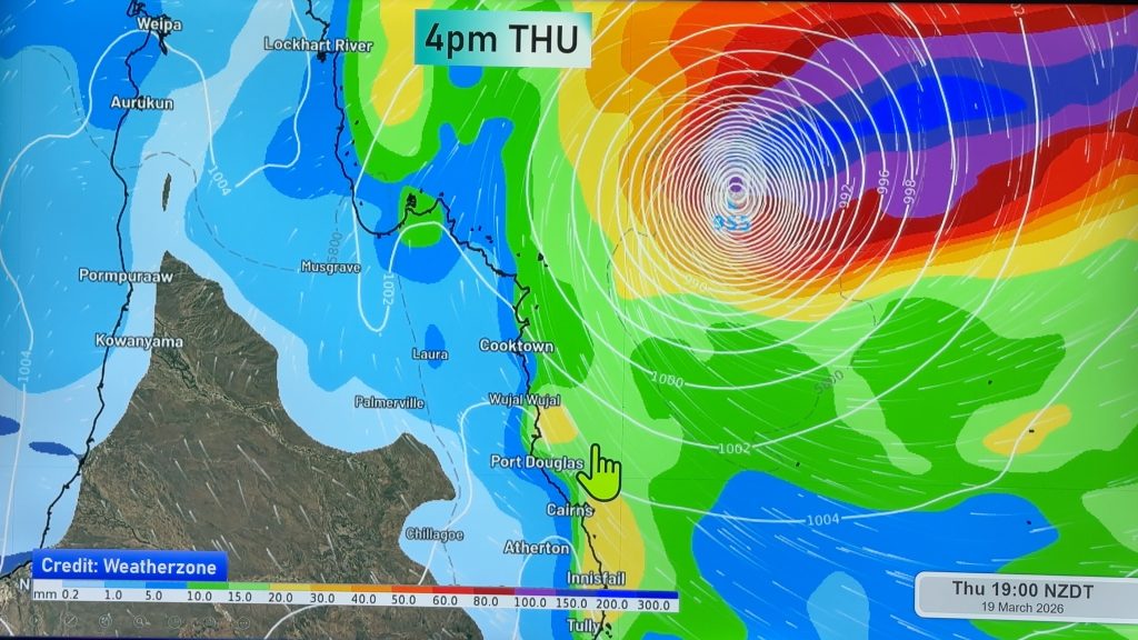
A new tropical cyclone has also formed near Vanuatu. It’s a messy system and at the time of recording this it hadn’t officially been named by the Fiji Met Service – but that has no impact on the maps or forecasts in the video.
The cyclone is lower end but may directly cross Port Vila. There is still a lot of uncertainty in the tropics due to the really large low pressure zone stretching thousands of kilometres from the Coral Sea west of Vanuatu to east of Tahiti.
There’s a high risk of cyclone development next week anywhere from about Fiji to Samoa.
Comments
Before you add a new comment, take note this story was published on 8 Feb 2024.


Add new comment
Mark on 10/02/2024 4:11am
Hi, pls what is the red line on your maps, typically in the tropics or sub tropics?
Thanks
Mark
Reply
WW Forecast Team on 10/02/2024 4:53am
Hi Mark, it measures air thickness – so north of that line (or if it’s a circle, inside it) is heavier air (with more moisture/humidity), or put another way: Hotter and humid. Humidity isn’t always extreme if it’s a nor’wester in NZ or through inland desert Australia, but it generally does indicate hotter and more tropical/subtropical airflows.
Cheers
– WW
Reply
Stormy on 9/02/2024 8:32am
Classic Billie T talk…”Saturday be hot in the eastern areas.” So be hot over here & cold over there, so might as well stay inside & watch TV with the whanau til Tuesday! Have a good one!
Reply
janet on 9/02/2024 3:21am
hi are we going to get the storm that you are talking about on your friday broadcact thankyou.
Reply
WW Forecast Team on 9/02/2024 3:26am
Hi there, no not at this stage. High pressure in the NZ area will stop that from happening over the next 10 days at least.
– WW
Reply