VIDEO: Cold changes for NZ across this week, frosts possible too
6/05/2024 12:11am

> From the WeatherWatch archives
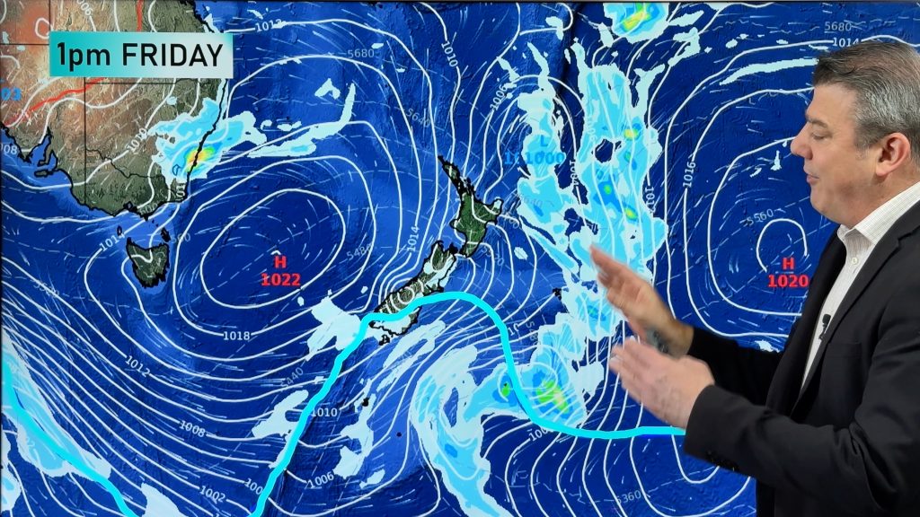
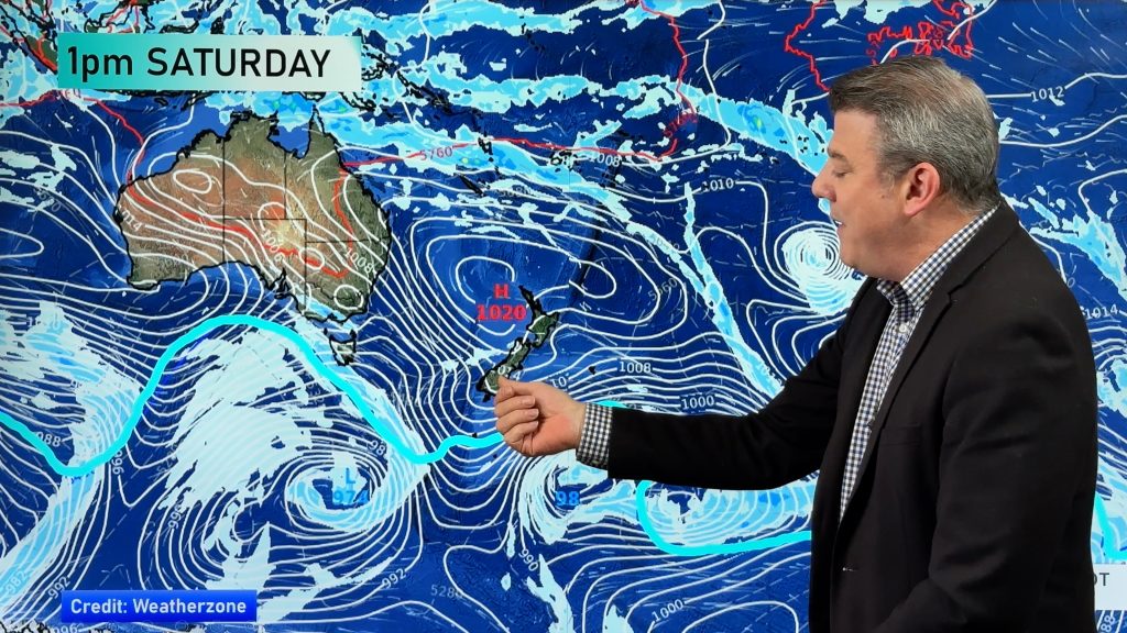
NZ has a number of colder changes coming into the country this week, as a powerful high remains south of Adelaide and a deep and powerful low pressure zone forms well east of NZ later this week.
The low is likely to interact with the high to bring in a big southerly flow for the entire NZ area – especially east of the mainland and over the Chatham Islands.
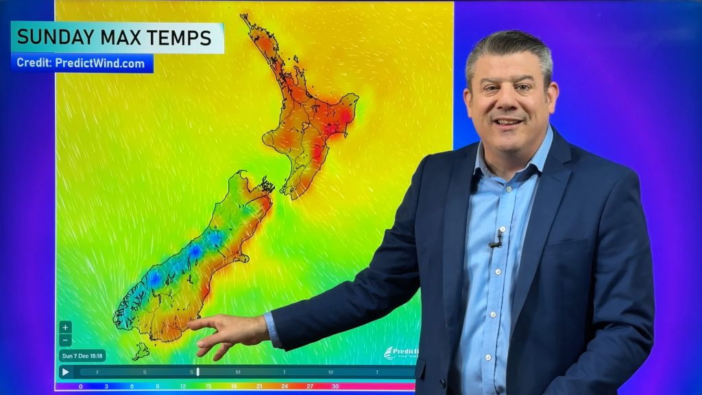
For the North & South Islands expect southerly quarter winds, often swinging more south-east, bringing showers, a few snow flurries higher up and the likelihood of much lower overnight temperatures.
We have your forecast through to Sunday.
Comments
Before you add a new comment, take note this story was published on 6 May 2024.


Add new comment