Thursday Newsfeed: Moderate to Severe Frosts coming for SI, wintry showers for eastern NI
31/07/2024 7:14pm

> From the WeatherWatch archives
As high pressure grows it locks in the cold that was dredged up by the snowy change this week, meaning cold nights will get even colder.
Overnight lows through the South Island interior will be dropping down below -5 tonight and below -8 on Friday night/Saturday morning. Daytime highs inland through the Southern Alps (places like Tekapo for example) may not climb over +1 degree for the next few days. That means there is a frost risk 24/7 for some places for the next three or four days – in other words, frosts won’t melt during the day for those inland areas higher up.
For those on the Canterbury Plains, Central Otago and in Southland temperatures at night will be anywhere from -1 to -6, and maybe lower. (Depending on where you are and what night – so check your local hourly forecasts at RuralWeather.co.nz and in the WeatherWatch App to drill down deeper temperature-wise). Daytime highs should allow frosts to melt for most places, but not all.
Some places at higher elevation will go below -10 in the coming nights. Black ice is highly likely across the South Island’s alpine and higher elevation highways and roads.
But coastal areas won’t be as cold – and may need to wait until the weekend for the wind and cloud to clear away for lighter to moderate frosts to arrive.
PAID FROST ALERTS
Get push alerts on your device when frosts are coming. You set the criteria for your location (and includes more than one location). $6.99 a month. Get alerted so you have fewer nasty surprises. For gardeners and growers this small monthly fee could help save you much more in frost damage.
FREE FROST MAPS/GRAPHS
Our new app has free general nationwide frost risk maps and frost graphs. Full details here.
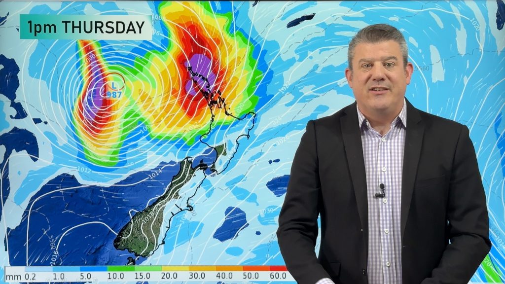
Elsewhere, rain and showers continue to brush the eastern North Island, otherwise wet weather is increasingly heading northwards as high pressure expands from the south-west.
Wettest weather for Thursday will be in the eastern NI from Wellington/Wairarapa to East Cape with plenty of showers about. A few showers will remain in the north-eastern SI too, bringing further light snow flurries to the ranges.
Snow showers in the NI ranges ease across today.
Rain is most likely today around East Cape / Gisborne / Tairawhiti.
Showers are possible over/near Waikato, Northland and BoP.
The next 7 days in NZ lean drier than average for almost all regions thanks to the incoming high pressure zone.


WeatherWatch.co.nz – Alerting App
Comments
Before you add a new comment, take note this story was published on 31 Jul 2024.
Latest Video
Tropical low to bring wind & rain this week
A low exiting the tropics near New Caledonia this week will grow larger in the Tasman Sea and finally bring…
Related Articles
Tropical low to bring wind & rain this week
A low exiting the tropics near New Caledonia this week will grow larger in the Tasman Sea and finally bring…

High pressure grows, but a stormy end to next week possible
A settled weekend is on the way and apart from a few isolated showers in both main islands many regions…

A tropical low next week *might* affect NZ
It’s not locked in yet, but a tropical storm may end up drifting southwards towards NZ about one week from…


Add new comment