Stormy cold front swiping Tasmania & Melbourne, temp drops ahead for lower South Island
14/02/2018 12:32am

> From the WeatherWatch archives
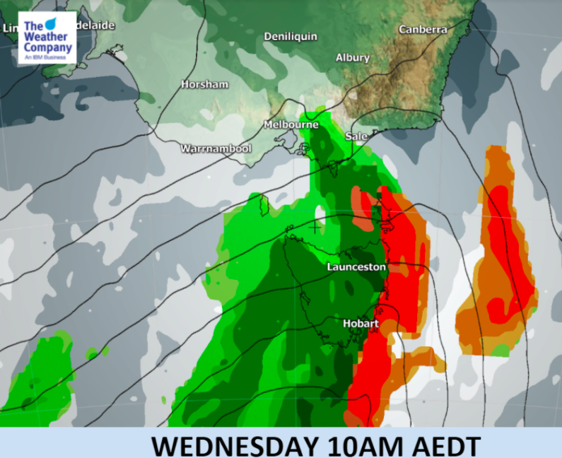
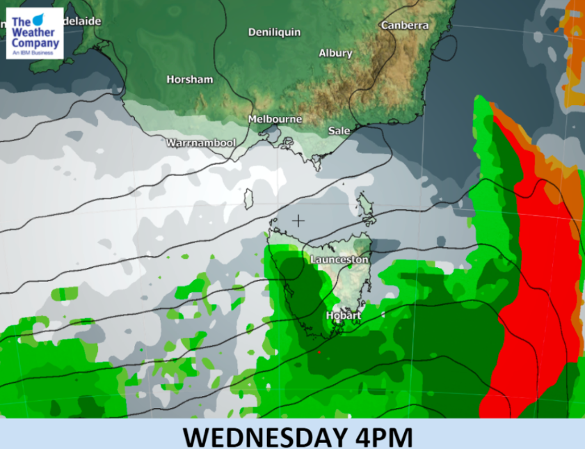
A sharp cold front has passed across Tasmania and the southern coastline of Victoria today bringing a period of heavy rain and gale force winds.
Strong winds are expected across the state today.
Also expect a temperature drop behind the front. Maximum temperatures in areas between Melbourne and Adelaide will be mostly under 20C, significantly cooler than usual.
The Southern Ocean will be stormy for the next week ahead, with the very outer edges of this unsettled weather brushing Southland, Fiordland and other parts of the lower South Island with a bit of wind, cloud, some wet weather and a few temperature drops. Nothing severe at this stage.
Early next week the lower South Island may drop another 10 degrees during the day with daytime highs potentially dropping as low as 13 degrees in Dunedin and Invercargill next Tuesday.
It’s been a windy morning so far in #Tasmania with a vigorous front crossing.
The highest wind gust recorded so far was 146 km/h @ King Is. Elsewhere saw gusts (in km/h) of: 117 @ Dennes Point, 111 @ Friendly Beaches, 107 @ Maria Is., 104 @ Launceston & Wynyard.— Bureau of Meteorology, Tasmania (@BOM_Tas) February 14, 2018


– Graphics and additional meteorological input thanks to our business partners at The Weather Company
– WeatherWatch.co.nz
Comments
Before you add a new comment, take note this story was published on 14 Feb 2018.


Add new comment