> From the WeatherWatch archives
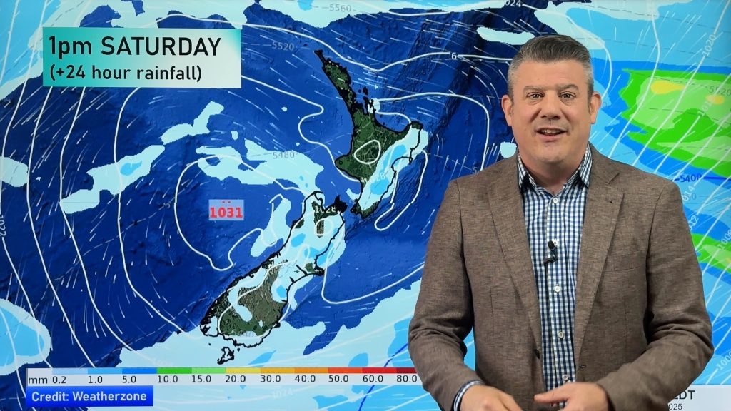
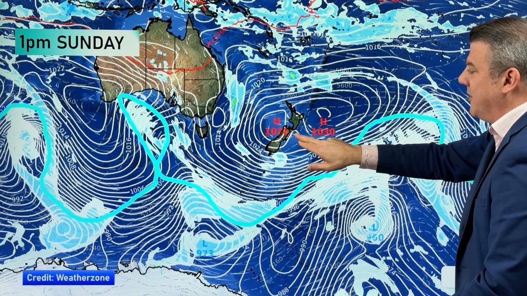
A westerly airflow lies over New Zealand today, a cold front within this flow slowly slides northwards over the South Island during the day.
Northland, Auckland, Waikato & Bay Of Plenty
Partly cloudy, risk of a shower or two from afternoon as light winds pick up from the west. The Bay Of Plenty is mostly sunny, some cloud from afternoon.
Highs: 14-18
Western North Island (including Central North Island)
Cloudy areas develop in the morning, risk of a shower or two from afternoon as west to northwesterly winds freshen.
Highs: 10-17
Eastern North Island
Mainly sunny, a touch of high cloud from afternoon. Northwesterlies pick up after midday.
Highs: 17-19
Wellington
Sunny spells and increasing cloud with breezy northwesterly winds.
High: 17
Marlborough & Nelson
Mostly sunny with some high cloud, more so from afternoon. North to northwesterly winds pick up after midday.
Highs: 16-19
Canterbury
Sunny areas and some high cloud, northwesterly winds.
Highs: 16-18
West Coast
Showers, perhaps some rain at times. Westerlies freshen from afternoon.
Highs: 12-14
Southland & Otago
Cloudy with showers about Southland, west to northwest winds becoming strong in the afternoon with a risk of gales. Otago has mostly cloudy skies, there may be a spit of rain at times otherwise mainly dry, winds lighter.
Highs: 12-15
By Weather Analyst Aaron Wilkinson – WeatherWatch.co.nz
Comments
Before you add a new comment, take note this story was published on 17 May 2019.


Add new comment