Rare! 10,000km high pressure zone connects NZ with South America
18/01/2024 1:02am

> From the WeatherWatch archives
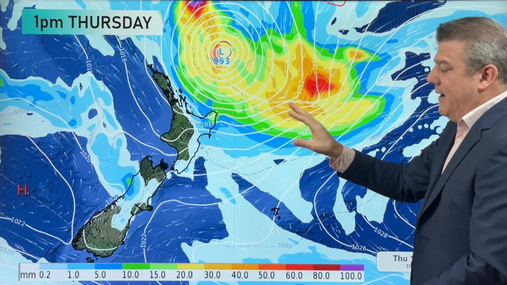
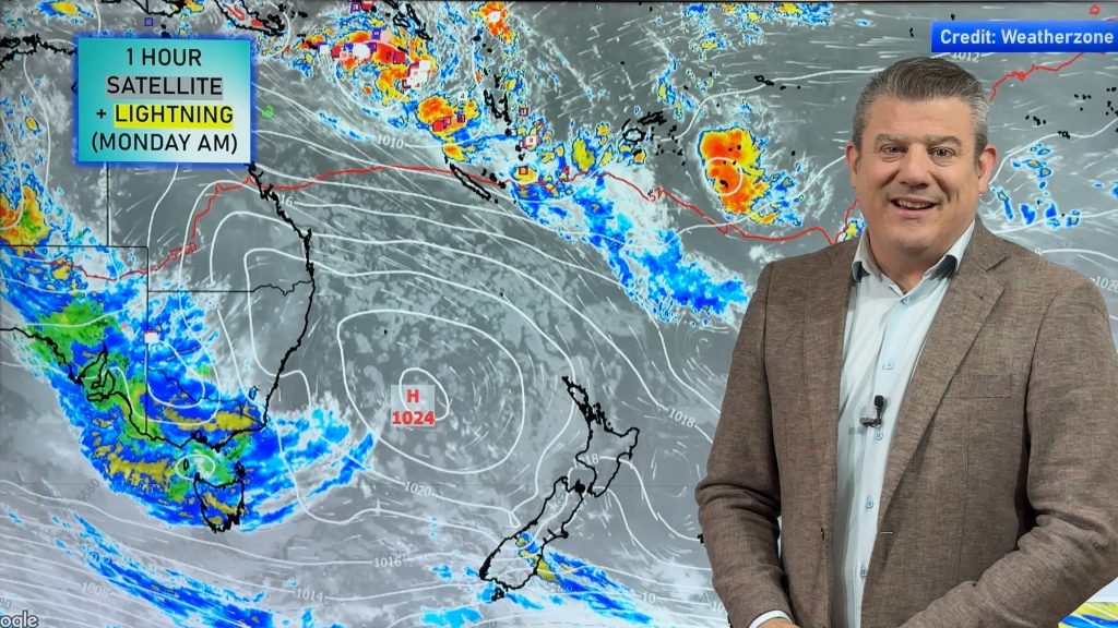
It’s not something you see everyday – in fact, it’s something you may have never seen before. A single high pressure zone (or anticyclone) is currently parked between New Zealand and South America, covering a staggering distance of about 10,000 kilometres (or 6200 miles).
High pressure zones can grow to enormous sizes and usually when they reach about the size of Australia (about 4000km wide) we tend to make a brief news update on it. So to see one this large is quite incredible – and is something we’ve never seen (or noticed) before.
Sometimes a series of highs can link together over the same size, or greater. But, as so often the weather is, it’s down to luck of the draw each week on the alignment of highs and lows around the planet. This one just has the ideal conditions to fan out.
It’s short lived too. By tonight and certainly by tomorrow it will split into two areas of high pressure that are connected.
The placement of this high explains why so many parts of NZ are hot and humid at the moment as the anticyclonic flow drags down sub-tropical winds, or, mild northerly quarter winds over the country.


WeatherWatch.co.nz
Comments
Before you add a new comment, take note this story was published on 18 Jan 2024.


Add new comment