> From the WeatherWatch archives
Heavy rain is slowly moving eastwards over the upper North Island for Wednesday and Thursday and may lead to localised flooding due to the slow movement of the heaviest downpours. The front slowly tracks eastwards today and has already cleared Auckland and much of Waikato, leaving cloud and showers or drizzle behind.
Tonight this narrow but heavy rain band continues to slowly track eastwards and behind it foggy areas will form. As you can see from the map below the brown area around Central Plateau indicates fog – however this is only highlighting the highest risk area, foggy areas may develop as far north as Auckland and right down into parts of the lower South Island due to the calm, damp, conditions behind the rain band.
Fog may linger for a time on Thursday morning with light winds in many areas.
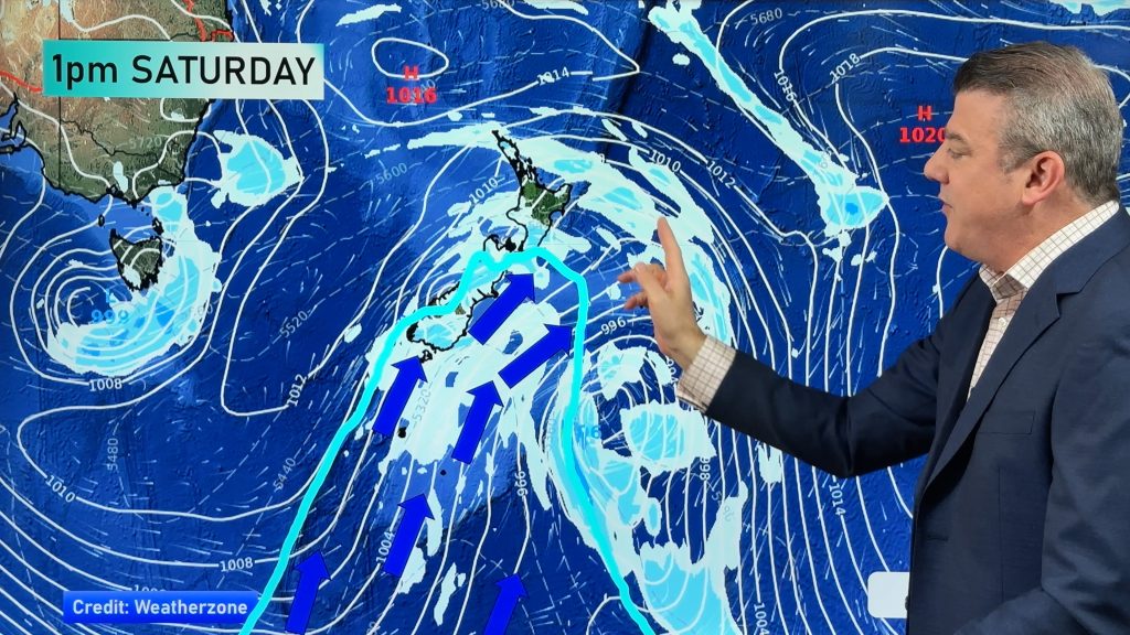
Whole the low out in the Tasman Sea looks ominous it will mostly fall apart by Friday.


Comments
Before you add a new comment, take note this story was published on 29 Aug 2018.


Add new comment