Monday’s national forecast – Unsettled weather
11/09/2022 12:00pm

> From the WeatherWatch archives
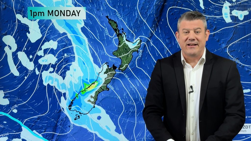
A low pressure system brings unsettled weather to New Zealand today, plenty of rain or showers for most regions. The eastern South Island is fairly dry though.
North Island
Showers (possibly heavy with thunderstorms) for the upper North Island, easing this evening as northwesterlies tend westerly, morning heavy rain about Bay Of Plenty eases. Spits or showers in the southwest (Taranaki through to Wellington), Taranaki has rain which spreads elsewhere this afternoon as northerlies change more to the west, rain eases this evening. Winds about Taranaki are strong. Morning spots of rain in the east (rain more persistent for Gisborne) clears then sun breaks through as northeasterlies tend more northwest, during the afternoon rain pushes back into Wairarapa from the west.
South Island
Rain (possibly heavy) for Buller, Nelson and Marlborough then easing this afternoon as southwesterlies start to develop, showers clear this evening for Nelson and Marlborough. Spits or showers for the West Coast, rain for Fiordland. Showers develop about Southland around midday, spreading into Otago this afternoon. Canterbury is mainly dry with high cloud, there could be a few spots of rain, winds are light.
Comments
Before you add a new comment, take note this story was published on 11 Sep 2022.


Add new comment
Kay on 11/09/2022 10:42pm
We have had enough rain in central hawkes bay. The yard has not been as wet as this in the past 15 years, so no more rain thanks.
Reply