Monday’s national forecast – Southwesterly airflow
22/05/2022 12:01pm

> From the WeatherWatch archives
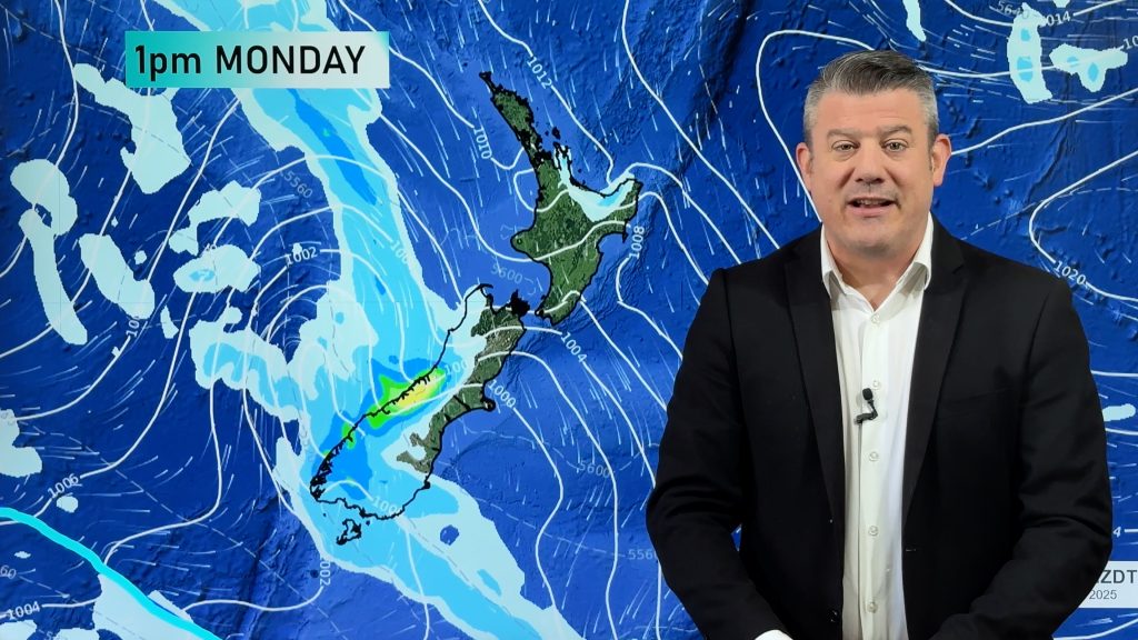
A southwesterly airflow lies over New Zealand today with a cold front pushing over the North Island.
North Island
Some rain in the southwest this morning (Taranaki especially), possibly heavy with thunderstorms and hail then easing and clearing this afternoon with sun breaking through. Showers this morning for the upper North Island turning to rain as a cold front moves through, easing from afternoon then remaining showers clear this evening, the Bay Of Plenty may stay dry all day though. Showers for Wairarapa clear this afternoon, Hawkes Bay and Gisborne stay mainly dry with some afternoon cloud, clearing evening. Some cloud may build in the west overnight, Taranaki through to Northland.
South Island
Any showers for the upper South Island clear this morning then becoming sunny, elsewhere has mainly sunny weather apart from Southland and southern Fiordland which have cloud and occasional showers with gusty westerlies. Cloud builds for the West Coast overnight with the odd shower moving in. A frosty start for some areas (especially inland) then again overnight.
Comments
Before you add a new comment, take note this story was published on 22 May 2022.


Add new comment