Monday: Muggy 30c across NI. Tuesday: Some in SI reach only 9c, frosts & snow possible 300m+
22/01/2024 2:30am

> From the WeatherWatch archives
One thing about having more than half of New Zealand in the roaring forties belt of weather means colder Southern Ocean changes happen even in the middle of summer. For some this will be music to your ears (or at least better news for sleeping), for others it will mean a brief shift from summer gear to literally winter gear, especially if you’re camping in the South Island’s interior, for example Queenstown and through the mountains. Snow may even fall low around places like Arthur’s Pass midweek – or very close to it, with a dusting of snow along the Southern Alps.
It’s likely highest risk for snow and frosts (or sub zero temps) will be above 400m above sea level, which doesn’t affect any towns. But may impact trails and national parks. It’s possible in some areas overnight Tuesday/Wednesday morning this may be nearer to 300m above sea level. The point is – even if dry and above zero – it’s going to be a cold night if you’re outside!
Most summers New Zealand does get a cold change moving through. In fact there were frosts in Northern Southland one morning in February last year.
Overnight temperatures above just a few hundred metres will be getting into zero degree territory on Tuesday night/Wednesday morning with overnight lows generally around 1 to 5 degrees around 200 to 250 metres through the South Island’s lower interior (central Otago and Northern Southland and through the Southern Alps).
At this stage Queenstown may only reach 9 degrees on Tuesday – maybe a few degrees higher though if you’re in a sunnier, more sheltered spot. But the cold change will see Invercargill go from a pleasant 23 or 24 today, to just 12 or 13 on Tuesday. Dunedin will be around 22 or 24 today, down to just 14 or 15 on Tuesday.
If the sun is out it will still be hot and may have high to extreme UV levels, despite the cold air.
If you’re camping – especially above 300m – winter conditions may be possible for a time on Tuesday or Tuesday night/Wednesday morning. It’s fairly short lived – but a couple to a few colder nights are on the way for parts of the South Island.
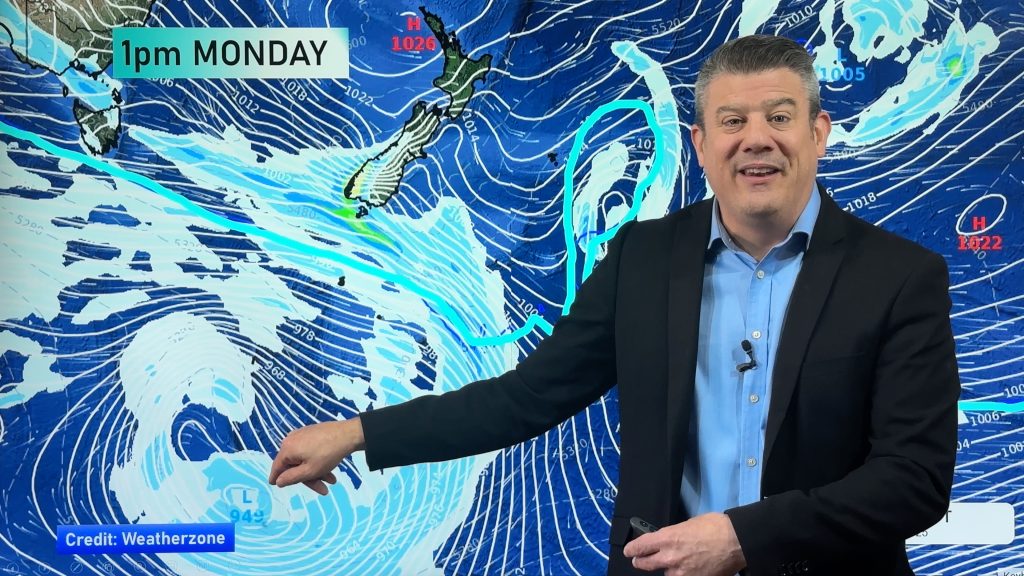
MONDAY, ahead of this brief cold change it will be another hot and muggy day in the north with daytime highs in the late 20s and early 30s for many parts of the North Island, and Humidex/feels like temperatures in the mid to possibly late 30s.
There will be plenty of cloud cover and showers bubbling up in the North Island on Monday, especially inland later. Rain and showers and drizzle for West Coast in the South Island.
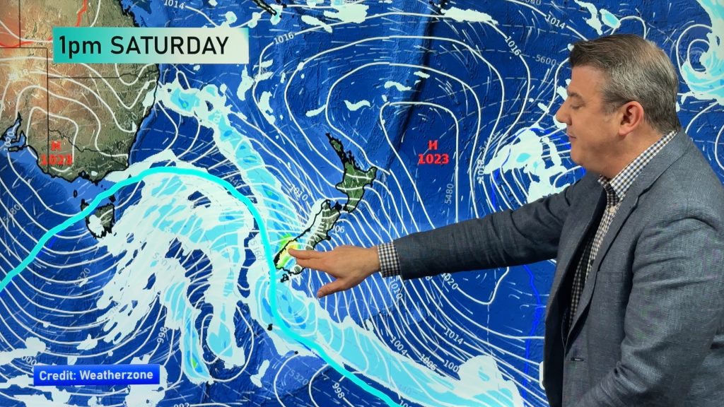
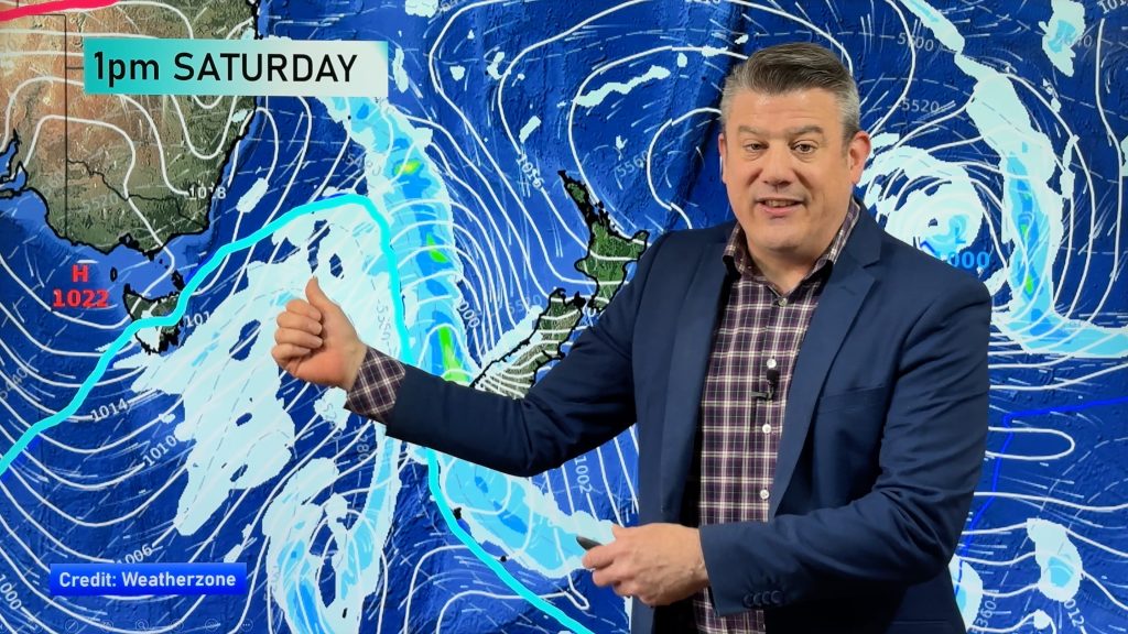
On Tuesday that cold front moves up NZ with rain and showers in the west.
Our new app shows hourly temperatures in easy to view graph form (free to view) and the PRO (paid) version allows you to customise multiple alerts for temperatures across four locations to get push notifications on your device. Want to know when temperatures are getting down to frost level? (like 3 or 4c and below). Get alerts pushed to your device so you get fewer nasty surprises. See below for more details.

Make the most of the 2 month Free Trial for the PRO alerting version (cancel anytime) and play around with creating your own camping alerts this summer. (you set the criteria and over time you can learn to calibrate it/adjust it to suit).
Maps most relevant today are…
- Possible MetService Watches and Warnings
- Live Rain Radar
- NZ Cumulative Rainfall next several days
- Animated Temperature Maps
DOWNLOAD our new FREE App for the most detailed and hyper-local forecasts in NZ. Upgrade to the PRO Alerting version and trial it Free for 2 months, cancel anytime. Details here.


Comments
Before you add a new comment, take note this story was published on 22 Jan 2024.


Add new comment
D Bliss on 21/01/2024 9:28pm
Why are you not writing °c instead of just “c”? I thought you were selling something!
Reply