Monday Newsfeed: High pressure exits east, Sub-tropical northerlies develop
7/04/2024 11:49pm

> From the WeatherWatch archives
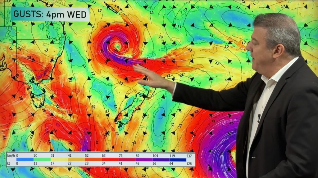
Windier northerlies and western rain are both developing across NZ over the coming days as a powerful area of high pressure exits to the east. As of 1pm Monday it will be centred smack bang over the top of the Chatham Islands.
The airflow is sub-tropical for some regions over mainland NZ in the days ahead, meaning overnight lows will be above normal in many places and daytime highs will be mild for most.
Rain later this week will become heavy in the west but the precise shape of the low is still uncertain – many of you may have noticed forecasts chopping and changing for later in the week. This is because the computer modelling is struggling to work out the precise central location of this air pressure zone developing this week after the high as exited. Some models have shown the low quite large and lazy, others have shown a more precise detailed set-up. Either way this coming week should bring in rain to many of those dry regions. We’ll have more details in our video out Monday afternoon.
Weather Maps you might find helpful today are …


- WeatherWatch.co.nz / New Alerting App
Comments
Before you add a new comment, take note this story was published on 7 Apr 2024.


Add new comment