Max. Temps over 30 degrees for some as NW winds kick in
2/12/2024 3:00pm

West to north-west winds ramp up more today with gales in exposed places and even hotter weather expanding into the east of both main islands.
Let’s get into the forecast for Tuesday to start with…
RAIN:
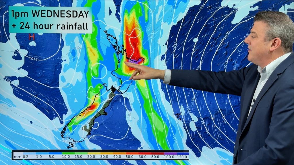
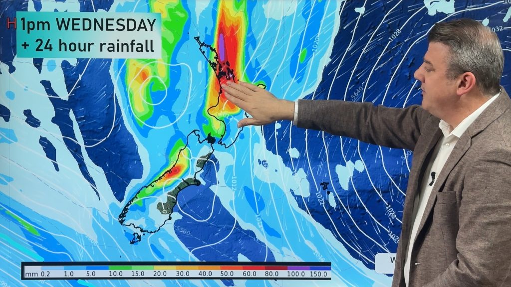
High pressure is parked east of Gisborne and brings dry or mostly dry weather to NZ but it slides away from the South Island enough to allow rain in to the West Coast with some heavy falls that may spill over into western Otago and Canterbury’s high country, otherwise dry.
WIND:
Light winds for the top half of the North Island with increasingly windier nor’westers as you head to Cook Strait and the upper South Island, those winds ease again further towards Otago and Southland.
TEMPERATURES:
Hot inland, to the north and east of both main islands with highs between 23 and 33 degrees today for many, and may be even hotter tomorrow.
WEEK AHEAD
Wednesday is similar with hot weather in Hawke’s Bay and other eastern regions and max temps between 30 and 35 degrees, although not overly hot in the lower South Island or the coastal side of western NZ. Most regions are dry but showers are possible in the west, mostly south of Taranaki and even more so south of Westland and south of Otago.
On Thursday west to sou-west winds cover the nation with a few western and southern showers and cooler air in the south of the South Island and western NZ – but still hot in the eastern North Island
On Friday and Saturday high pressure moves closer to NZ with a west to south-west flow – but it’s short lived with a possible South Island storm on Sunday. We’ll have more details tomorrow about that.


As always drill down deeper with your hyper-local, hourly, 10 day forecasts by downloading the FREE WeatherWatch App.


Add new comment