InfoGraphic: The Big Picture for Wednesday / Thursday
26/11/2019 6:00pm

> From the WeatherWatch archives
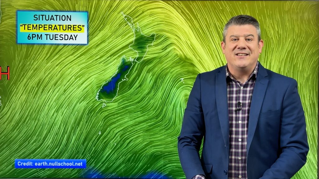
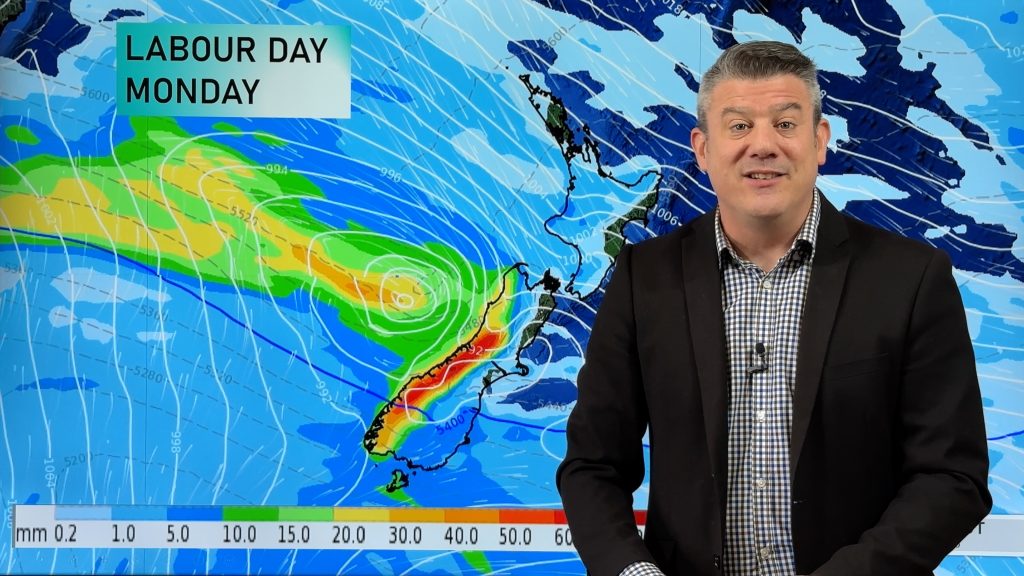
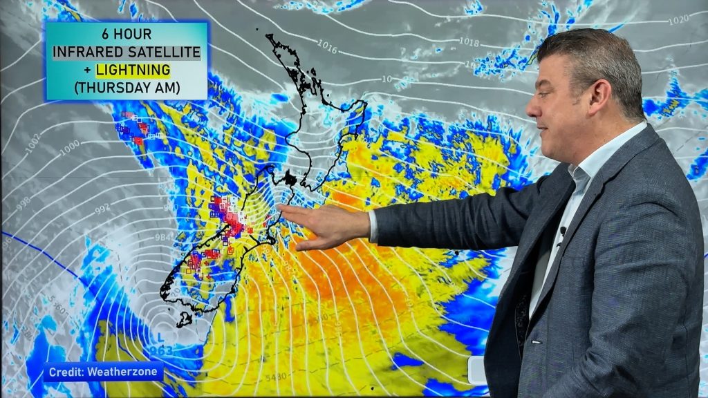
A northwesterly airflow lies over New Zeland today. A front straddles the far south bringing some rain to Southland and South Westland. A weak low pressure system lies to the west of the North Island on Thursday, expect a light north to northwesterly airflow over the country.
A mix of mid and high level cloud across the North Island today, mainly dry. Hot afternoon temperatures for the eastern North Island. Rain about Fiordland may be heavy, especially in the south. Mainly dry in the east with some high cloud. Some rain moves into Southland around midday then a few spots may pass through Otago in the evening.
A mix of mid and high level cloud across the North Island on Thursday, some rain pushes into Northland from the west later in the evening / overnight. Isolated showers develop about some inland areas (i.e. Waikato and Central North Island) late afternoon / evening, some may become heavy with thunderstorms then clearing at night. Rain or showers about South Westland, sunny spells further north. Mainly dry with some high cloud in the east. The odd spit or shower for Southland. Late afternoon or evening southerlies develop about Otago, pushing into Canterbury overnight with some cloud.

By Weather Analyst Aaron Wilkinson – WeatherWatch.co.nz
Comments
Before you add a new comment, take note this story was published on 26 Nov 2019.


Add new comment