> From the WeatherWatch archives
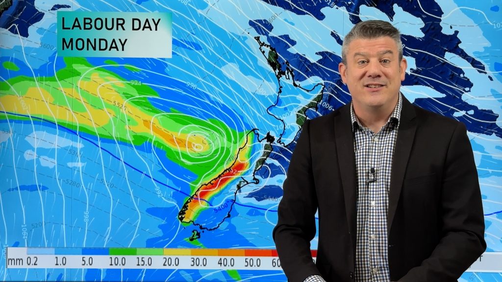
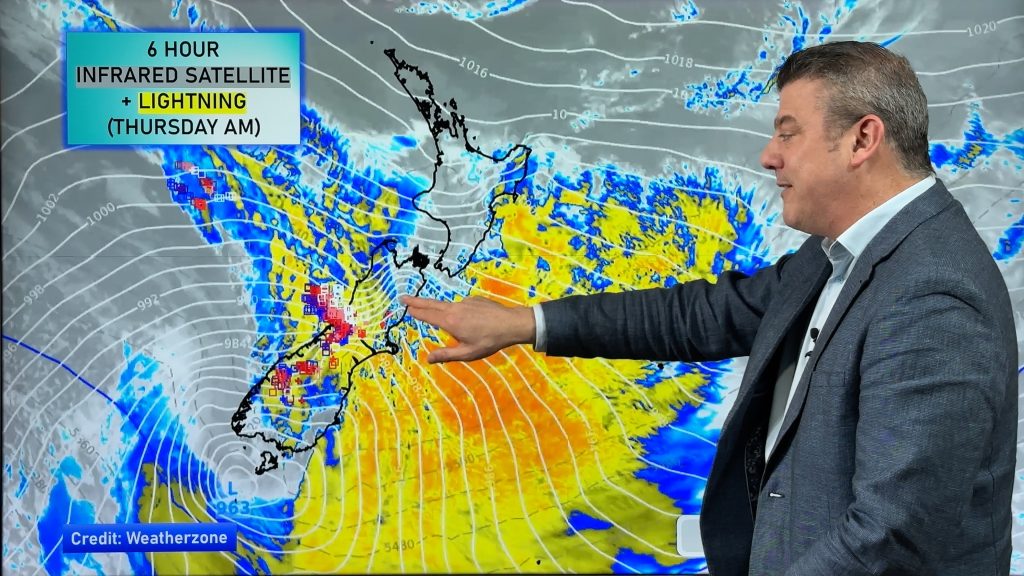
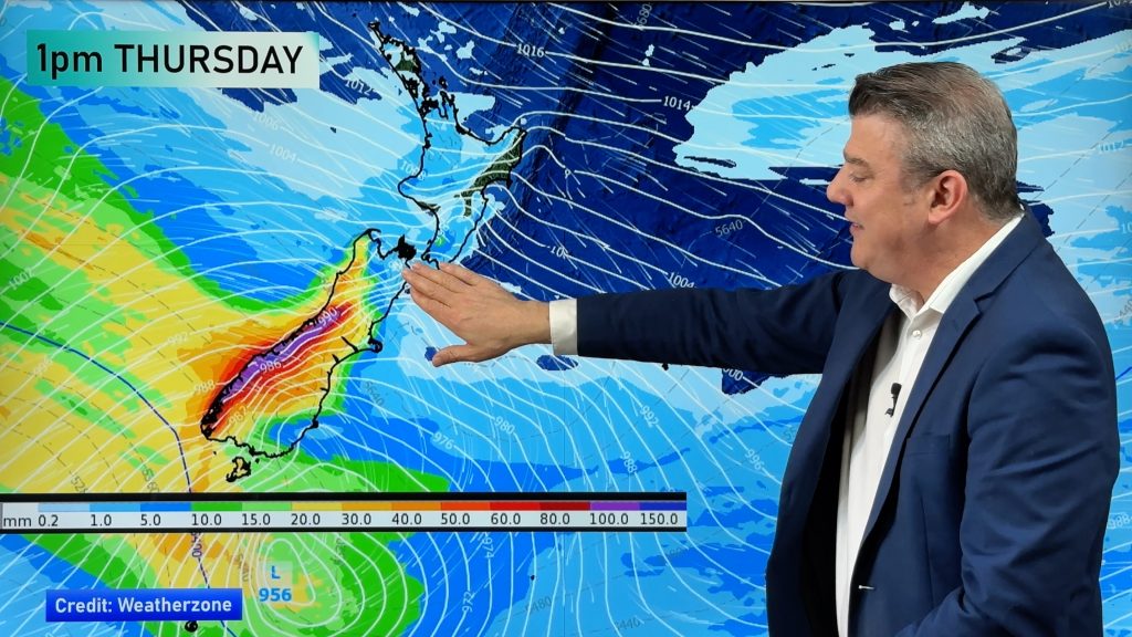
A low deepens to sit just west of the country on Tuesday, flinging a cold front over the upper South Island and North Island bringing in some heavy rain, possible thunderstorms for the North Island too. Most of the lower South Island is wet also, slowly clearing about Southland from afternoon.
Showers turning to rain late morning for the upper North Island, rain may be heavy with possible thunderstorms then easing late afternoon as gusty northerlies tend northwest. Rain about Taranaki spreads to other lower western North Island areas late afternoon or evening. High cloud in the east then rain spreads from the west in the evening.
Rain about Nelson and perhaps Marlborough at times will be heavy now and then before easing overnight. Rain for the rest of the South Island, possibly heavy about the Alps. Morning showers for Southland then drying out from afternoon.

By Weather Analyst Aaron Wilkinson – WeatherWatch.co.nz
Comments
Before you add a new comment, take note this story was published on 16 Dec 2019.


Add new comment