In the depths of winter parts of NZ will be 20C on Saturday, some places 8C above normal (+Maps)
11/07/2019 11:26pm

> From the WeatherWatch archives
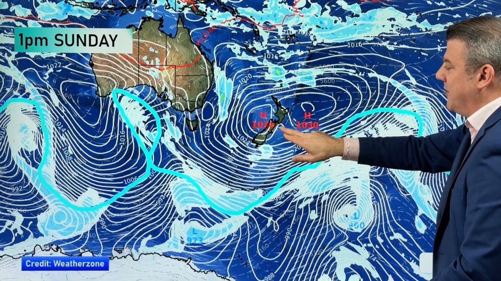
The westerlies are blowing across NZ now and even if cold today where you are the general trend is for much warmer than normal weather for this time of year.
WeatherWatch.co.nz says traditionally July and the first half of August is the coldest time of the year but the fact we’re entering a much warmer than normal phase at the coldest point will be a positive for farmers needing pasture growth but a real negative for ski fields needing low level snow.
We do have some heavy snow in the forecast over the next few days but it’s generally higher up.
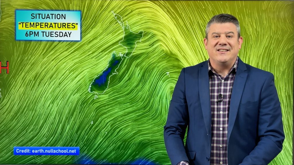
On Saturday the nor’west flow over the North Island, coupled with sunny skies in the east, means some places may break the 20 degree mark in Hawke’s Bay – which is about 6 degrees above normal for this time of year there. The South Island is no exception either, with parts of Canterbury likely over 8 degrees above average for mid-winter on Saturday. Colder air moves into the South Island on Sunday through until Wednesday and the southern half of the island looks especially cold then with Queenstown only making it to 3 or 4 degrees early next week.
But Saturday looks warm nationwide before this cooler change arrives. The incoming colder change next week will also spread into the North Island – but will only reset things back to normal and some places will still remain above normal for July.


– WeatherWatch.co.nz
Comments
Before you add a new comment, take note this story was published on 11 Jul 2019.


Add new comment