Australia: Severe Tropical Cyclone ZELIA makes landfall north-east of Port Hedland
14/02/2025 5:52am

> From the WeatherWatch archives
6:50pm NZDT / 1:50pm AWST — Category 5 Tropical Cyclone Zelia has made landfall, about 55km north-east of Port Hedland at roughly 12:30pm AWST (5:30pm NZDT).
Technical landfall is when the centre of the eye of the storm (the middle of the middle) crosses land.
As of 1:50pm AWST (6:50pm NZDT) winds were still increasing in Port Hedland with winds sustained at 80km/h and gusting 109km/h. Zelia has moved 5km closer to Port Hedland as it slowly tracks southwards inland, this is helping strengthen winds further in the town. The most destructive winds lie between Port Hedland and the eye of the cyclone.
Category 5 is the most powerful tropical cyclone category.
View the live Port Hedland rain radar here.
8am AWST / 1pm NZDT information:
- Movement Towards: south southeast (160 deg)
- Speed of Movement: 4 knots (7 km/h)
- Maximum 10-Minute Wind: 110 knots (205 km/h)
- Maximum 3-Second Wind Gust: 155 knots (285 km/h)
- Central Pressure: 927 hPa
Comments
Before you add a new comment, take note this story was published on 14 Feb 2025.
Latest Video
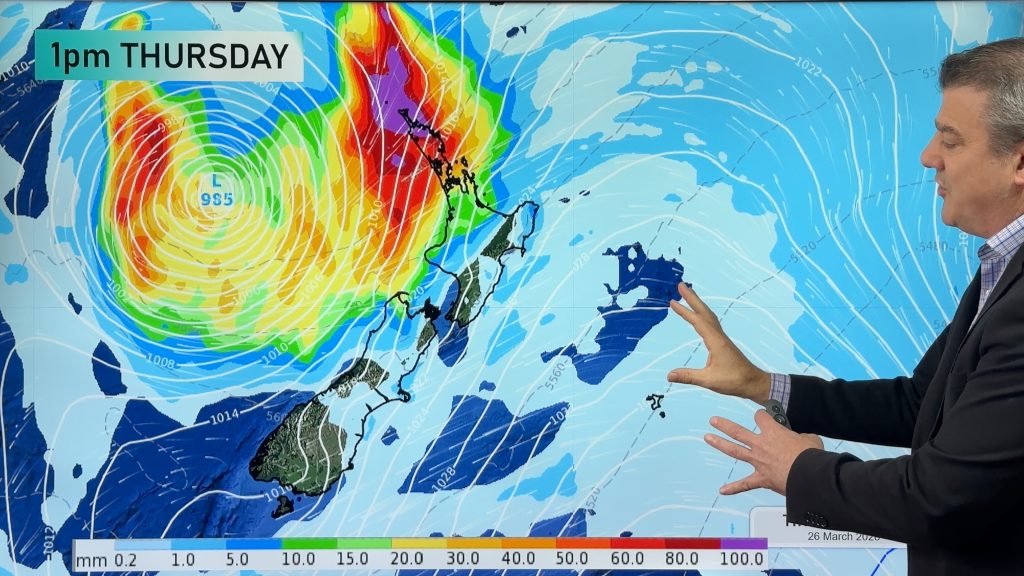
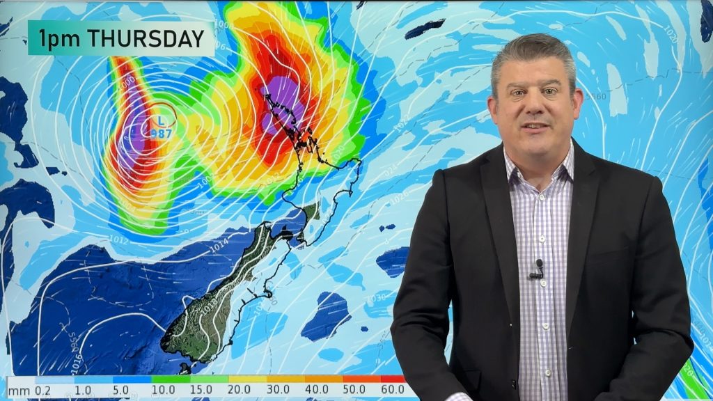
Tropical storm to bring severe weather to NZ, gales & heavy rain
A tropical cyclone is today leaving the tropics and will grow into a larger storm system for a time in…
Related Articles
Tropical storm to bring severe weather to NZ, gales & heavy rain
A tropical cyclone is today leaving the tropics and will grow into a larger storm system for a time in…
Tropical low to bring wind & rain this week
A low exiting the tropics near New Caledonia this week will grow larger in the Tasman Sea and finally bring…

High pressure grows, but a stormy end to next week possible
A settled weekend is on the way and apart from a few isolated showers in both main islands many regions…


Add new comment