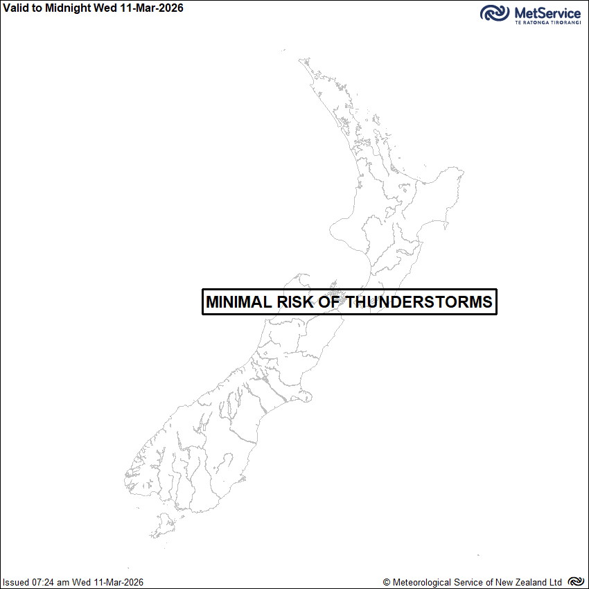
Thunderstorm Outlook
Issued at 7:24am 11/03/2026
Valid from 7:24am 11/03/2026 to 1:00am 12/03/2026
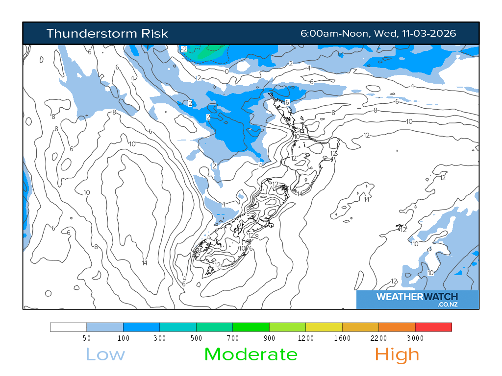
There is minimal risk of thunderstorms or significant convection during this period.
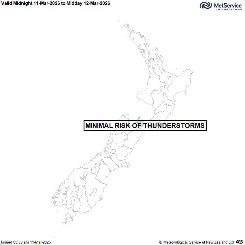
Issued at 9:39am 11/03/2026
Valid from 1:00am 12/03/2026 to 1:00pm 12/03/2026
There is minimal risk of thunderstorms or significant convection during this period.
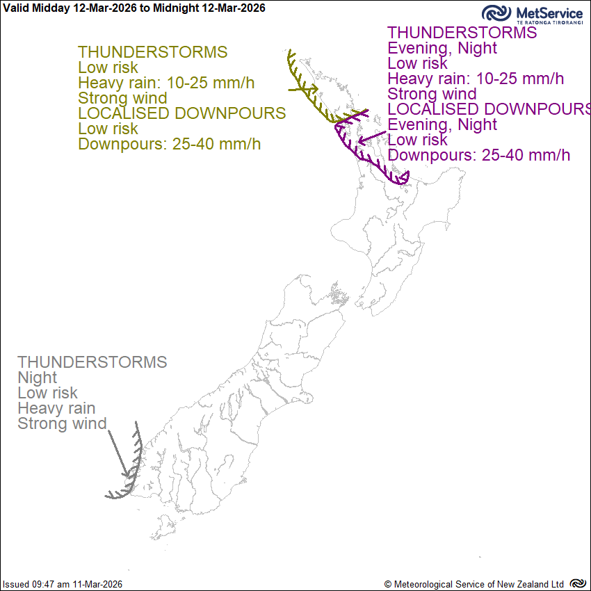
Issued at 9:40am 11/03/2026
Valid from 1:00pm 12/03/2026 to 1:00am 13/03/2026
During the second half of Thursday, a very humid airmass moves southwards across the upper North Island, bringing rain and strong easterly winds. For Northland, there is a low risk of embedded thunderstorms with heavy rain 10 to 25 mm/h and strong winds, this risk extending across Auckland, Coromandel Peninsula and western Bay of Plenty through the evening. There is also a low risk of localised downpours of up to 40 mm/hr. Late evening, a front moves onto Fiordland, accompanied by heavy rain and strong northerlies. There's a low risk of embedded thunderstorms there at night. No thunderstorms or significant convection expected elsewhere during this period.
Severe Thunderstorm Criteria
In New Zealand, MetService classifies a thunderstorm as severe if one or more of the following criteria are met:
Heavy rain (from thunderstorms):
Rainfall of 25mm/h, or more.
Large hail:
Hailstones 20mm in diameter, or larger.
Strong wind gusts (from thunderstorms):
Gusts of 110km/h (60 knots) or stronger.
Damaging tornadoes:
Fujita F1 - i.e. wind speeds greater than 116km/h (63 knots) or stronger.
Note: some tornadic systems such as funnel clouds, waterspouts and small land-based tornadoes are possible with thunderstorms that may not be classified as severe.