> From the WeatherWatch archives
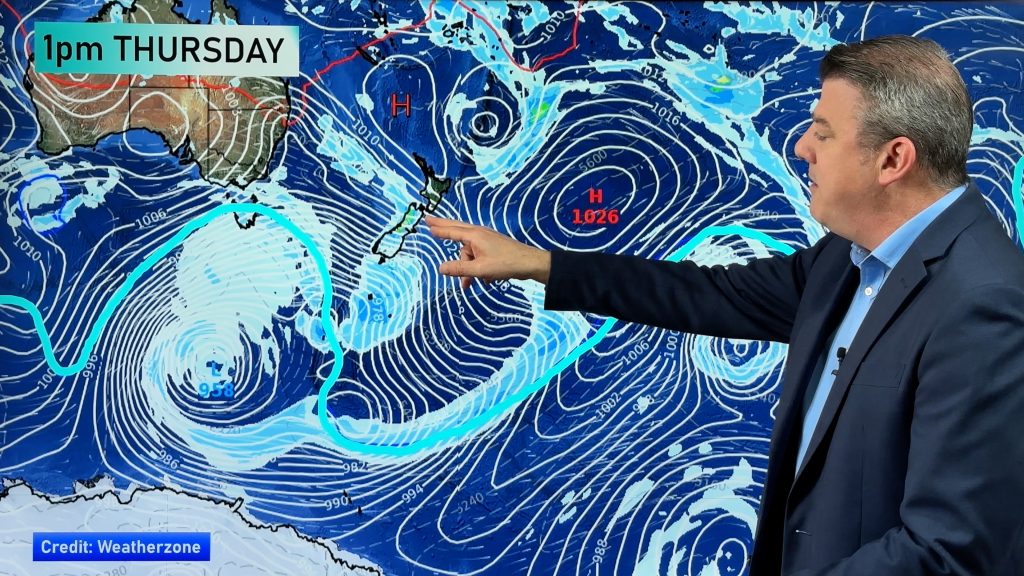
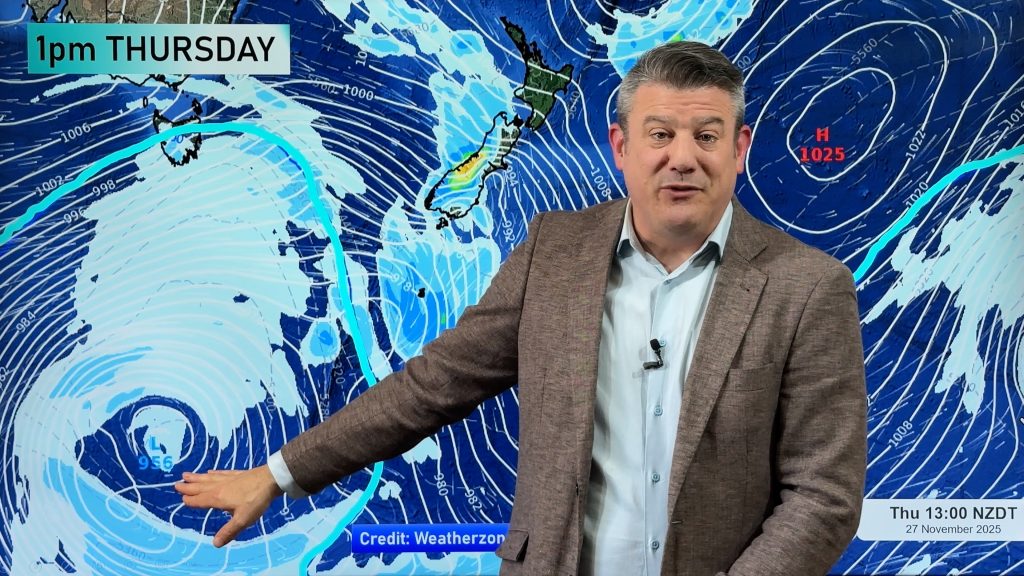
Well, we promised an in depth forecast today for New Zealand…but in depth just isn’t needed! A large high pressure system, one that stretches from east of the Chatham Islands to inland New South Wales is centred right over New Zealand.
It has developed 2 centres – one to the west of Cook Strait and one to the east of Cook Strait. This means a relatively sunny day New Zealand wide.
However cloudy periods are possible in a number of coastal areas this morning and quite possibly lingering around Auckland, East Cape and Northland into this afternoon.
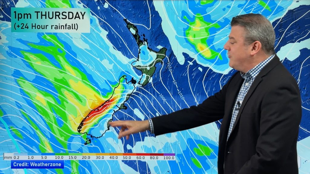
There is also a little moisture trapped under this low so there is a chance of a shower in some areas western areas, especially the Far North and through the centre of the North Island.
9:45am Rain Tracker: A few showers are now clearing New Plymouth but moving into an area between Mt Ruapehu and Wanganui – and heading east through Taihape and into the Tararuas. These showers are insignificant and are likely to burn up by noon.
Comments
Before you add a new comment, take note this story was published on 11 Oct 2008.


Add new comment