Winds in the west – #WeatherRisks on Friday & your main centre outlook
6/08/2015 7:00pm

> From the WeatherWatch archives
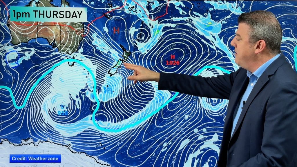
Westerlies are the name of the risk game through Friday, as winds will gust strongly on and off through the day, particularly in the North Island.
The western coastline of the island will be in for the roughest time of it, with a low risk of gales now and then.
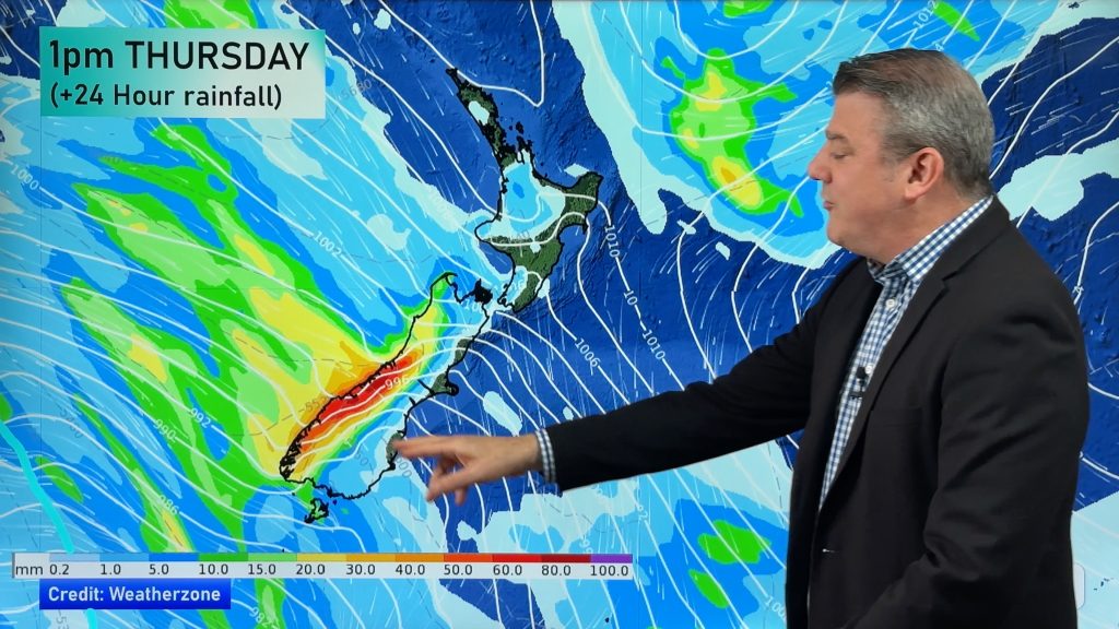
Along with wind, there could be steady and sometimes heavy showers along the western side of the country, before easing – and then starting again towards evening.
The West Coast of the South Island is looking wet (no surprises), with heavy rain and even the chance of a hail shower or two.
Further north, showers on the western coastline could also contain hail at times.
There is a chance of snow for the west of the South Island in the ranges too, while overnight and towards dawn on Saturday, showers push into Southland and over onto the east coast of the South Island.
There’s snow down to 200m in Southland and down to 300m in Canterbury around dawn on Saturday.
Main Centres
Christchurch
Showers to start before clearing in the afternoon, and then a southwest change towards evening bringing further showers overnight.
Wellington
SImilar story in Wellington, where morning rain eases to showers and sunny areas, while further rain arrives overnight, along with northwesterly winds.
Auckland
Occasional showers with breezy westerlies, while a burst of rain will spread overnight, with hail even possible.
– Aaron Wilkinson & Drew Chappell, WeatherWatch.co.nz
– Photo: Zelda Wynn
Comments
Before you add a new comment, take note this story was published on 6 Aug 2015.


Add new comment
Guest on 6/08/2015 7:04pm
Is Dunedin no longer a main centre ?
Reply
WW Forecast Team on 7/08/2015 12:45pm
Hi there – all we’re doing is increasing focus on the 3 biggest population centres in our news section.
Cheers
WW
Reply