> From the WeatherWatch archives
3:15pm UPDATE

(Submerged van in the Karangahake Gorge between Waihi and Paeroa. Over 300mm of rain was recorded in this area in less than 24 hours. Photo: Mike & Brigid Broad)
Reports of flooding are coming in from right across the North Island and the upper South Island as a depression, the size of the Tasman Sea, makes its way southwards. 
Blenheim Weather Watch reporter Anna Richards says the Taylor River is well up and local authorities have issued a flood warning. She says companies in the Picton industrial area are being told to move items to higher ground as flood waters rise.
(Flooded backyard in Picton. Photo: Nicci Bergman)
Head weather analyst Philip Duncan says severe gales are also developing on the tail end of the low. “As the depression moves southwards the outer bands of gales are moving onto Northland and northern New Zealand. Winds have reached 130km/h at Cape Reinga in the past hour with gusts to 110km/h in exposed areas around Auckland”. Mr Duncan says it’ll be a windy night in the north tonight with heavy showers off and on.

More rain is expected tomorrow across northern New Zealand.
(Waitohi stream in flood, Picton. Photo: Nicci Bergman)
Further South and easterly gales have been hammering Manawatu and Horowhenua with reports that trucks have been blown over. Gales are also affecting the Wellington region.
Reports have also come in about a tornado in Papamoa, Bay of Plenty, during this morning’s deluge. Tauranga Weather Watch reporter Andrew Love says roofing tiles and iron were dislodged. He says further north at Omokoroa heavy rain has brought down slips causing homes to  be evacuated.
Flooding along the Kennedy Road Stream, Napier. Photos by weather watcher Lee Curtis.
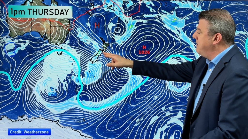
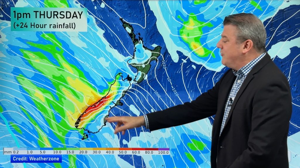
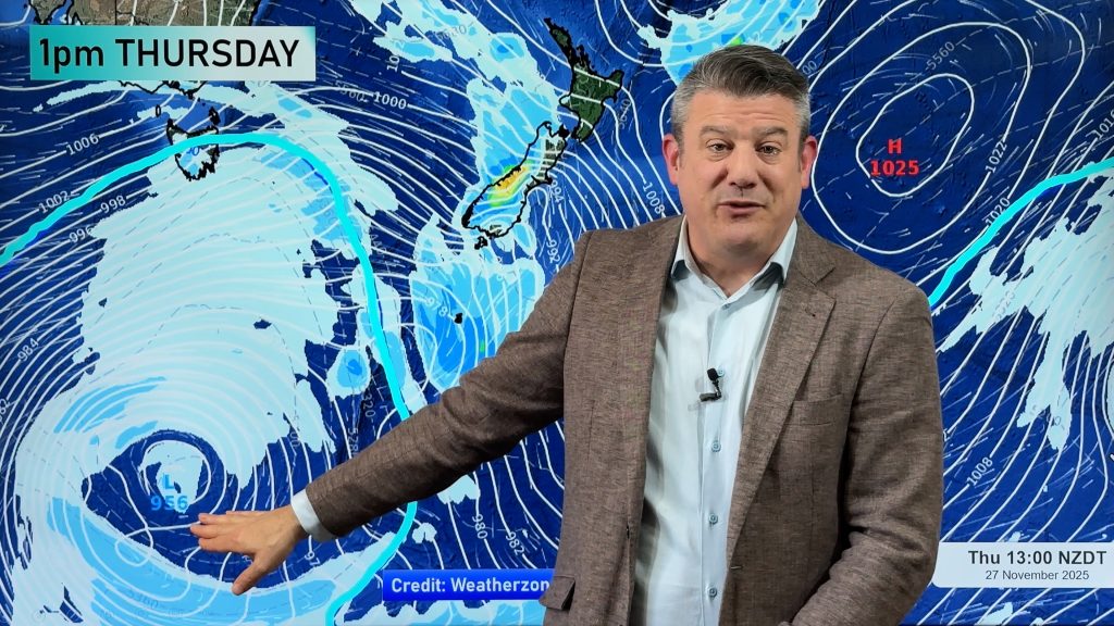
The main rain band is currently spreading across eastern parts of the North Island and upper South Island. Philip Duncan says the low is now west of Auckland’s coast and shifting southwards. “The storm will spread south today and engulf the entire country with low pressure. The centre alone is extremely large, about the size of the North Island”.

Mr Duncan says the wet weather from this system will last through until early next week.
(flooded backyard in Napier. Photo by weather watcher Lee Curtis)
South Island Weather Analyst, Richard Green ,believes that rainfall totals are expected to be quite significant across the South. “Blenheim to Kaikoura could be particularly wet and conditions quite miserable with a very strong easterly as well. Surface flooding is also on the cards for the Canterbury plains including Christchurch city later today, overnight and into tomorrow morning, if the full extent of the heavy rain is realised”.
Green goes onto say “Christchurch has had 5 successive weekends of rain and snow affecting sporting events and other outdoor activities and although the weather should be mostly dry for the upcoming weekend, the saturated grounds could make conditions very difficult once again”.
The wind will pick up from the east/southeasterly direction and often this is the quarter for Mainlanders, east of the divide, where the heaviest rain can come from.
Otago and Southland should also see the rain move in late today and into tomorrow morning however at this stage it doesn’t appear to be quite as severe as their northern neighbours.
One of the few areas to escape the big wet soaking the country at the moment is the hydro lakes, however at near 70% capacity the alarms aren’t there to the degree to just over a month ago.
“In fact soon over many parts of the country, a dry spell will be necessary so that all the moisture can be absorbed and fully drained off however we here at the Weather Watch Centre are not holding our breath!”.
25 weather warnings have been issued by MetService – they can be found on the weather link at www.newstalkzb.co.nz
WHATS HAPPENING WHERE YOU ARE? POST YOUR COMMENTS HERE!
Comments
Before you add a new comment, take note this story was published on 30 Jul 2008.


Add new comment
Brendan Pratt on 30/07/2008 6:19am
HI there, well Tauranga has hod a but of bad weather today, at the moment it windy and there are rain showers moving through.
Is there going to be more wild weather for Tauranga tonight?
Thanks for the updates….
Brendan.
Reply
Julia on 30/07/2008 4:31am
Pretty blustery today with heavy showers. From about 3 pm the wind has been picking up and the clouds & rain has descended once again. Managed to get a walk in with the dog and the wind was pretty strong down on the wharf. Love this site.
Reply
nicci on 30/07/2008 2:46am
absolutely wicked here..houses flooded..businesses and roads being pumped..still pouring down and waitohi stream looking worse than when we were evacuated in 2004..more to come too i hear (?)
high school closed to allow civil defence to use if needed
Reply
Keza on 30/07/2008 5:46am
I just heard that the Marlborough Council had declared the region a Civil Defense Emergency – and earlier that a very large tree had fallen over in the carpark of Nelson High School onto or near students (ZM radio approx 4.15pm). It’s been raining here in Chch for the last hour, nothing spectacular, just constant rain with mild winds so far.
Reply
Jan on 30/07/2008 2:27am
Weather here is very blustery and quite a few heavy but short showers.
It’s quite cold too.
Reply
LJ on 30/07/2008 1:03am
oh make it stop!
Reply
Sue on 29/07/2008 11:46pm
Hi Phil…we have some pretty awful weather here in Whangarei… strong gales and rain just started to pick up again. Are we likely to flood late this afternoon when the tide comes in? Or are we over the worst? Cheers
Reply
WW Forecast Team on 30/07/2008 12:01am
Hi Sue,
The rain this afternoon is patchy but heavy. Hard to see where the flooding will be…but central and eastern areas are more exposed at this stage.
Keep sending us updates!
Cheers
Phil.
Reply
View more comments