> From the WeatherWatch archives
A day ago northern New Zealand was gloomy, overcast and very wet. The rainy remnants of ex-cyclone Donna dumped a months worth of rain in some regions in just a day, with areas of flooding again popping up in places like Waikato.
However the southerly change has dramatically changed the weather today with stunning clear skies – even if it is considerably cooler!
It’s a different story in the North Island’s eastern regions though, with both Hawke’s Bay and Gisborne still affected by the showery flow.
High pressure is now moving on to the country from the Tasman Sea.
 7:45am Auckland image via Sitecam – see live images by clicking here.
Comments
Before you add a new comment, take note this story was published on 12 May 2017.
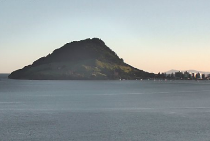
 Mt Maunganui/Tauranga looking equally as stunning this morning – click here to view the latest webcam image courtesy of the Port of Tauranga.


Add new comment