Westerlies to dominate for 7 days, with a surge of cold on Wed & Thu
18/11/2024 3:00pm

> From the WeatherWatch archives
A cold front is moving into the country today, tonight and early Wednesday, followed by a westerly flow which will last another week at least.
Let’s get into the forecast for Tuesday to start with…
RAIN:
A cold front moves into the south-west corner of the South Island today and moves up the West Coast with some heavy falls. A few spillover showers and patchy rain are also expected in Southland and western Otago later today or tonight – dry for the rest of NZ. That front weakens overnight tonight and early Wednesday morning as it moves into the western North Island.
WIND:
Nor-West or westerly winds become stronger in Wellington, the lower North Island and upper South Island today. Those west to north-west winds are lighter in northern NZ and a south-west change moves up the lower South Island tonight and overnight.
TEMPERATURES:
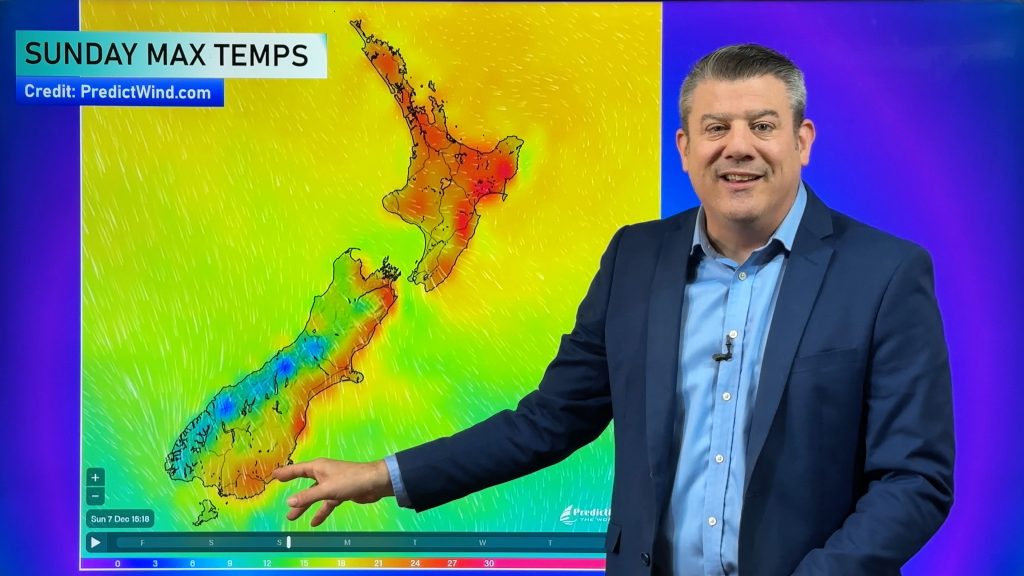
Those winds make the North Island and upper South Island warm today, but a cooler airflow is moving into Westland, with peak cold on Thursday.
7 DAYS AHEAD
Wednesday will be a windier day with showers off the Tasman Sea and wettest weather in the western North Island and across the South Island. Despite the showers, most places aren’t very wet.
On Thursday the main pulse of cold air heads over the South Island and into the lower North Island. Parts of the South Island may feel a bit wintry with low daytime highs and snow on the mountains. South to south-west winds will be cold, strong and wet for Southland and parts of Otago. Showers continue for the southern and western North Island and dry westerlies continue for the east although a few late showers may come into Wairarapa.
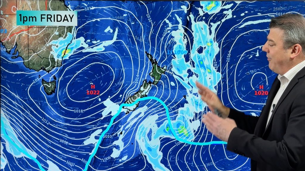
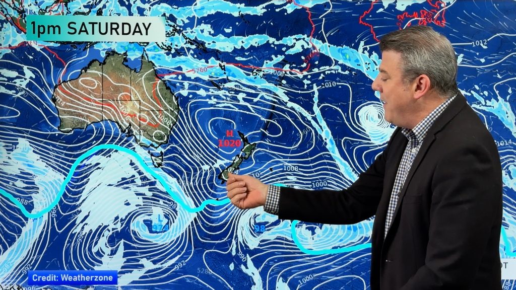
Across Friday, Saturday, Sunday, AND Monday and Tuesday of next week, high pressure is parked over the central Tasman Sea bringing a sometimes fresh sou-wester across NZ and a few isolated showers. Eastern areas will be driest and warmest.


As always drill down deeper with your hyper-local, hourly, 10 day forecasts by downloading the FREE WeatherWatch Alerting App.
Comments
Before you add a new comment, take note this story was published on 18 Nov 2024.


Add new comment