> From the WeatherWatch archives
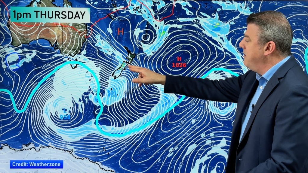
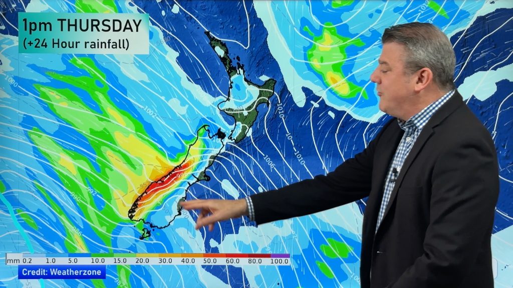
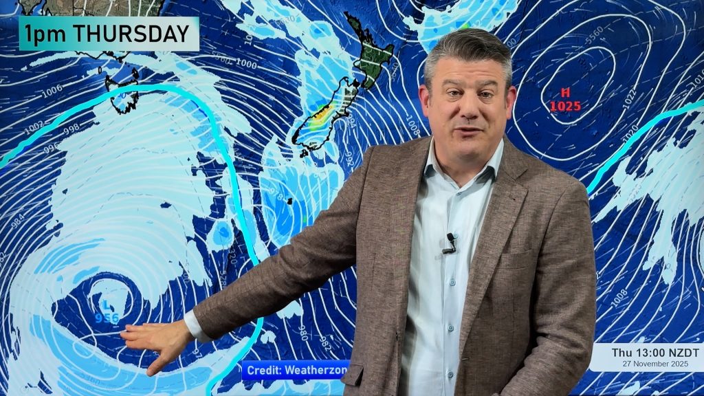
More stunning weather is on the way this weekend thanks to a large anticyclone still holding firm over the country. The Weather Watch Centre’s head weather analyst Philip Duncan says make the most of it, as next week is looking unsettled. “Sunny skies and light winds will be the order for both Islands this Saturday and Sunday, but next week a very large area of low pressure will move on to us from the Tasman Sea. With the high still to our east it should mean strengthening easterlies over northern New Zealand and rain or showers spreading to many western areas by late Tuesday or Wednesday”.
Duncan says frosts will affect some inland areas with widespread fog patches again over Waikato, Rotorua and possibly Auckland. “Best to keep up to date with the airports if you’re flying in or out of Auckland, Hamilton, Tauranga or Rotorua tomorrow. By Sunday easterlies should lower the potential for fog patches”.
Frosts are also likely about inland the South Island tomorrow morning and inland areas of the North Island south of about Waikato. “They’ll be pretty light though, with most cold spots only dropping to around zero or 1”.
The low next week should see large swells developing on the west coast of both islands with an increasing easterly wind flow over the North Island. A cold snap is likely to follow the low sometime later next week or next weekend.
Comments
Before you add a new comment, take note this story was published on 15 May 2008.


Add new comment