Weekend weather headlines (x3): Place to be, Showers clear eastern NI Thursday, Frost early April?
25/03/2022 6:00pm

> From the WeatherWatch archives
Here’s what is making the weather headlines this weekend
PLACE TO BE THIS WEEKEND
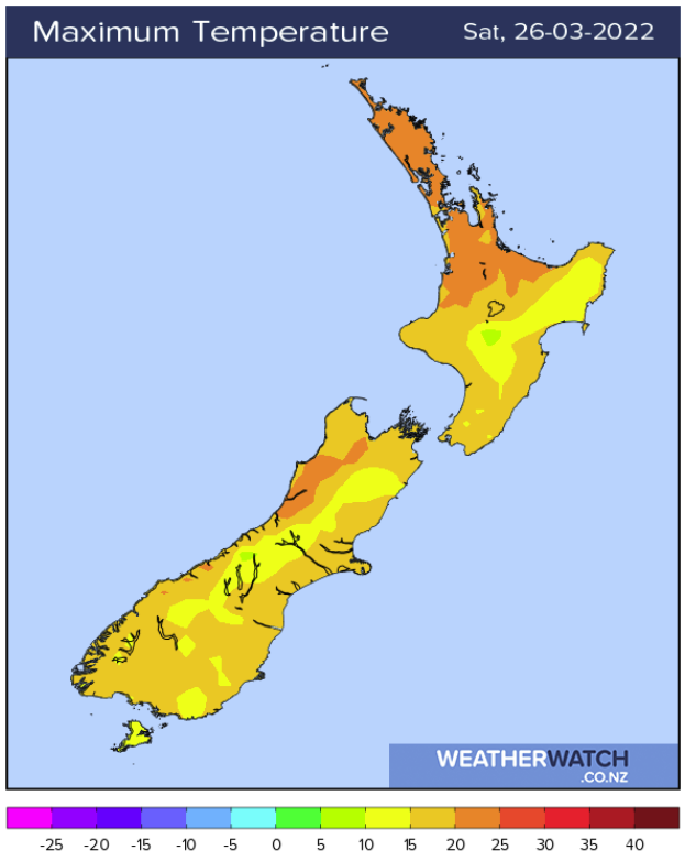
There are a few candidates that are in the running for the place to be this weekend. Central Otago is looking fairly good, so does Nelson. The upper North Island is looking reasonably warm but winds may be a little breezy on Saturday and Sunday brings the risk of a shower.
The place to be that ticks all the boxes in terms of sun, light winds and warm temperatures is Reefton, both Saturday and Sunday see afternoon highs getting into the mid twenties, skies are looking mainly sunny and winds are looking to be light if not calm. Actually anywhere from Murchison down through to about Lake Brunner looks to be a good spot. Enjoy!

SHOWERS CLEAR EASTERN NORTH ISLAND ON THURSDAY
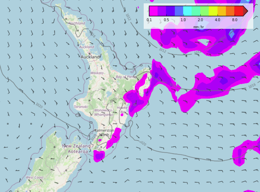
Showers or some rain still looks set to continue for the eastern North Island through to about Wednesday next week, finally on Thursday 31st March skies clear and sun breaks through.


FROST EARLY APRIL?
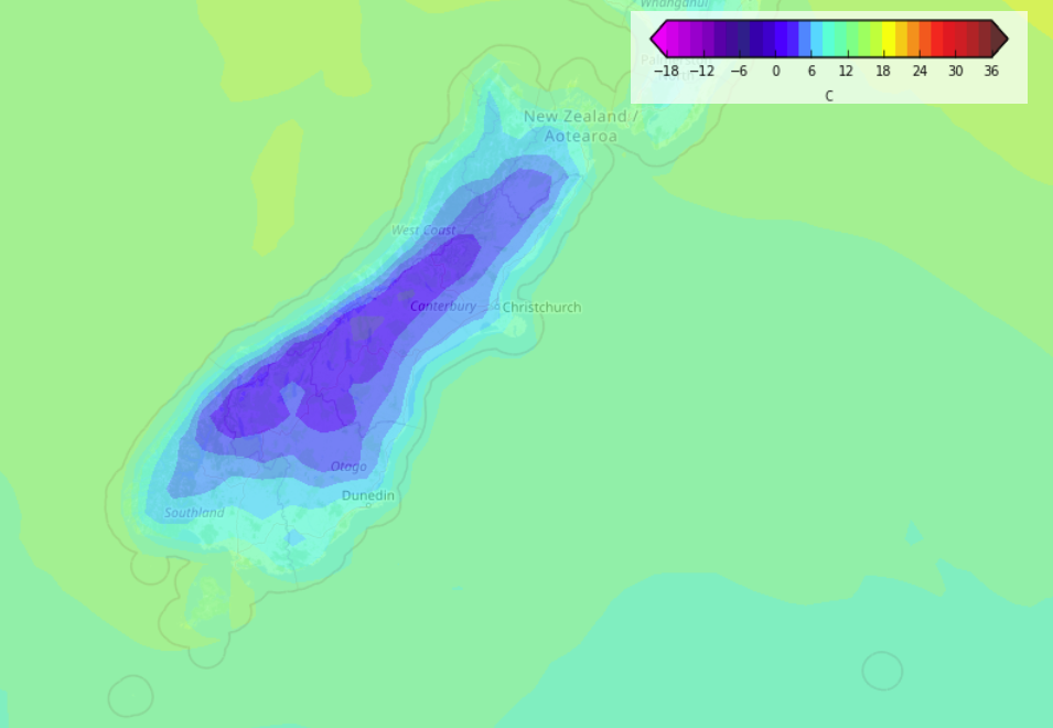
Long range models show a cold front pushing northwards over the South Island on Friday April 1st then in behind pushes a ridge of high pressure and clearing skies, this means cold temperatures overnight with some interior parts of the South Island having the chance of a frost by dawn on Saturday morning.
Even if this set up doesn’t exactly come to fruition it is a sign that we are of course heading into a colder time of year and the likely hood of frosty overnight conditions is slowly increasing.

Comments
Before you add a new comment, take note this story was published on 25 Mar 2022.


Add new comment