Windy westerlies return next week + Vanuatu/Fiji tropical cyclone risk update
10/12/2025 11:04pm

(No video Friday, next update is on Sunday) — NZ has a cooler/colder change coming in on Friday as a southerly change arrives – gone by Saturday as high pressure crosses the country. By Sunday nor’westers and subtropical airflows return, boosting temperatures again.
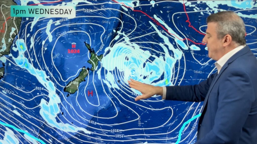
Even windier nor’westers kick in on Monday, with possible South Island wind warnings and West Coast rain warnings as a cold front arrives. By Tuesday night that cold front moves into the North Island with a decent temperature drop going into next Wednesday for some.
TROPICS:
A potential tropical cyclone may form this weekend near Vanuatu, then drift near Fiji and Tonga next week. At this stage it looks like a lower end storm, but it’s one to monitor. We have the latest tracking maps for this tropical depression over the weekend and into next week.
PROGRAMMING NOTES:
– We have no weather video today/Friday, but will be back again on Sunday with an additional weekend update.
– Next week we have no weather videos on either Tuesday and Wednesday.
Comments
Latest Video
Rare blood moon lunar eclipse tonight + Yes, NZ’s weather is warming back up again
We had our coldest morning of the year so far today and tonight will also be a little cool (but…
Related Articles
Rare blood moon lunar eclipse tonight + Yes, NZ’s weather is warming back up again
We had our coldest morning of the year so far today and tonight will also be a little cool (but…
ClimateWatch: MARCH is looking quite orderly to start with
Storms near Antarctica, Autumn’s westerlies building south of Australia & NZ, high pressure again affecting both nations and the tropics…
Colder tonight for many, Lunar eclipse Tuesday, high pressure dominates
A lot of low pressure is spinning east of the country while a large high is moving in – this…


Add new comment