NZ: Spring gales, temp drops (& spikes) + Fiji has a tropical low to monitor
13/12/2025 11:57pm

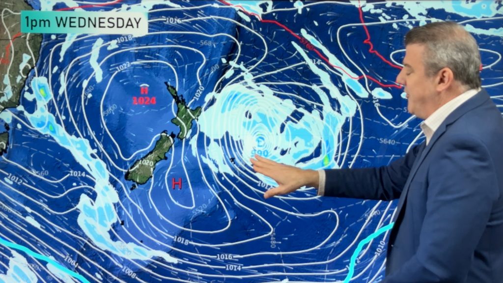
We have our first forecast for Christmas Eve & Day today, but this coming week looks spring-like as a colder surge of weather moves out of Tasmania and reaches NZ on Monday and Tuesday.
The incoming cold front will bring heavy West Coast rain, a dusting of snow on the Southern Alps and a burst of severe gale nor-westers before the front arrives inland. In fact that windy westerly (kicking in over the next 24 to 48 hours) will boost temperatures ahead of the more “refreshing” cold change – although for some in Southland, Fiordland and Otago there will be a burst of “cold” air twice this week, with a “wintry” change expected by late week with daytime maximum’s potentially not even reaching the teens for some!
High pressure is also in the mix – bringing more dry weather and daytime heat – and we give you a look at how the weather looks to be shaping up for the big day (Christmas Day) and also Christmas Eve.
TROPICS – TROPICAL DEPRESSION APPROACHING FIJI
A tropical depression near Vanuatu still has the chances of becoming a tropical cyclone, but even if it does it looks like a weak system from a wind point of view, and may just bring some heavy tropical rain and thunderstorms to Fiji, especially the north.
On Saturday the Fiji Met Service had a “Moderate to high” chance of cyclone formation by tomorrow (Monday) – today (Sunday) they have dropped that to a “low” chance, due to high pressure in the NZ area limiting the low’s ability to spin and deepen into a more powerful storm. The US global “Joint Typhoon Warning Center” also had highlighted the low yesterday for potential tropical cyclone development, but has also backed off today. It’s certainly one to monitor – but for now poses no serious threat to the South Pacific, other than some locally heavy rain in Fiji for a time. Keep up to date with the Fiji Met Service for more information and we’ll have another update on Monday too about this tropical depression.
*Programming Notes:
- Our Summer Schedule has now started, which means we won’t consistently have weather videos every weekday (hence today’s Sunday update!). We will do our best to keep you up to date with our upcoming schedule with each update we do.
- We have no weather videos this Tuesday or Wednesday
Comments
Latest Video
Rare blood moon lunar eclipse tonight + Yes, NZ’s weather is warming back up again
We had our coldest morning of the year so far today and tonight will also be a little cool (but…
Related Articles
Rare blood moon lunar eclipse tonight + Yes, NZ’s weather is warming back up again
We had our coldest morning of the year so far today and tonight will also be a little cool (but…
ClimateWatch: MARCH is looking quite orderly to start with
Storms near Antarctica, Autumn’s westerlies building south of Australia & NZ, high pressure again affecting both nations and the tropics…
Colder tonight for many, Lunar eclipse Tuesday, high pressure dominates
A lot of low pressure is spinning east of the country while a large high is moving in – this…


Add new comment