Sunday Newsfeed: Westerlies & showers linger in days ahead, not quite as intense (+3 Maps)
21/09/2024 8:00am

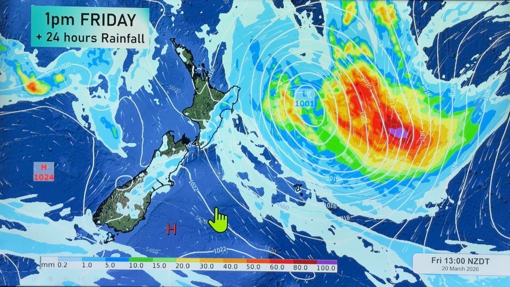
> From the WeatherWatch archives
On Sunday the north-west wind flow picks up a notch, another surge of showers moves in from the Tasman Sea to some parts of western NZ with showers here and there – large dry and sunny areas too. Rain is most likely again around the West Coast. Eastern areas are again dry for the most part.
Monday and Tuesday kick off with a few western showers and those westerlies easing – and by Wednesday next week a high pressure zone may well be, briefly, parked over NZ bringing lighter winds and mostly dry weather.


- As always drill down deeper with your hyper-local, hourly, 10 day forecasts at WeatherWatch.co.nz – or download our Free WeatherWatch App.
Comments
Before you add a new comment, take note this story was published on 21 Sep 2024.
Latest Video

High pressure grows, but a stormy end to next week possible
A settled weekend is on the way and apart from a few isolated showers in both main islands many regions…
Related Articles
High pressure grows, but a stormy end to next week possible
A settled weekend is on the way and apart from a few isolated showers in both main islands many regions…

A tropical low next week *might* affect NZ
It’s not locked in yet, but a tropical storm may end up drifting southwards towards NZ about one week from…
NZ 9 Day: Two subtropical lows, but a lot of dry weather
In our extended outlook today we track two subtropical storms, one that will likely miss most of NZ while the…


Add new comment