Sunday Newsfeed: Westerlies ease back, restrengthen Monday (+2 Maps)
7/09/2024 8:55pm

> From the WeatherWatch archives
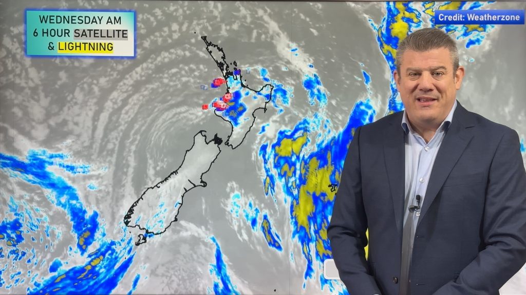
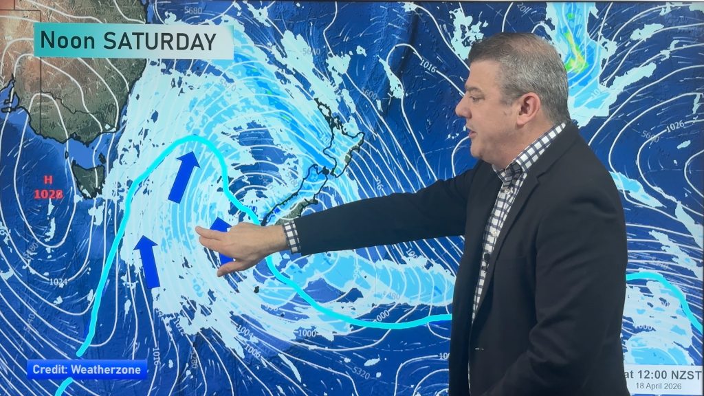
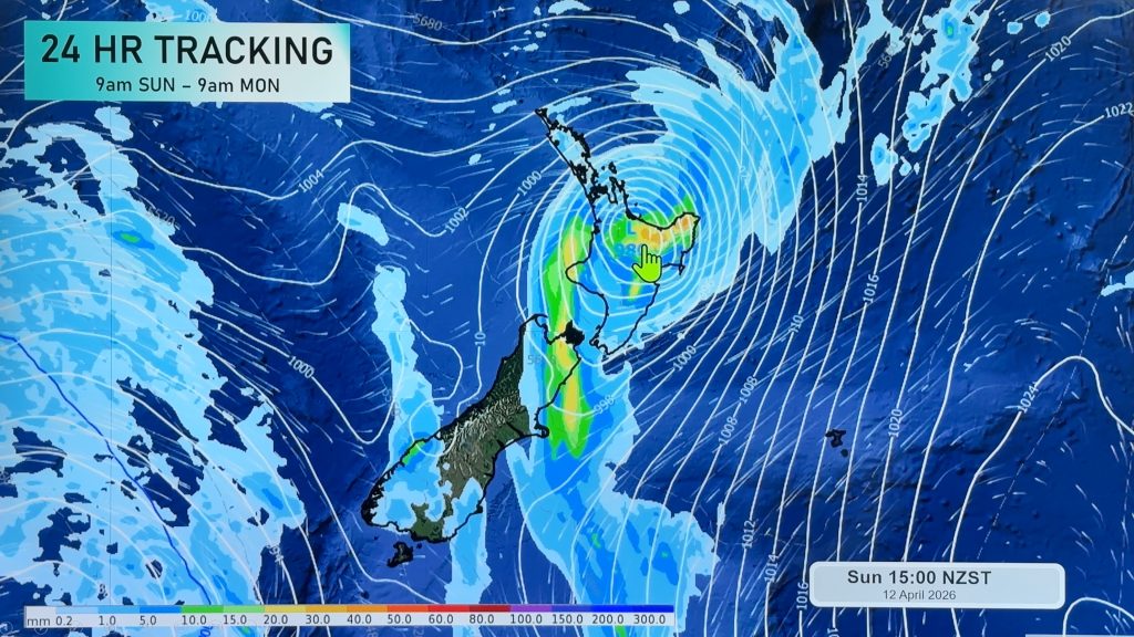
On Sunday winds from the West to South-West carry on, but they do ease back from the peak of where they were on Saturday.
But – by Monday yet another big storm south of the country will help to fuel strong Westerly winds over New Zealand, mostly the South Island and up to Wellington/southern Wairarapa, thanks to high-pressure parked just to the north of the country. That high acts like a lid and stops the low pressure from moving up NZ … and that process puts the “squeeze” on the air pressure, making for windier weather.
This coming week remains unsettled with the surge of colder more wintry air for the lower South Island but it will be short-lived. You might be pleased to know that the westerly winds should start to finally fade away mid to late next week.


As always drill down deeper with your hyper-local, hourly, 10 day forecasts at WeatherWatch.co.nz – or download our Free WeatherWatch App.
Comments
Before you add a new comment, take note this story was published on 7 Sep 2024.


Add new comment